
|
Here are some statistics for the ride: Miles Cycled: 822 Average Miles a Day: 63.2 States/Provinces Traversed: 4 Cities Slept In: 13 Stays With Friends and Family Hosting Us: 2 Hotel Stays: 11 Total Riding Time: 2 days, 4 hours Total Ascent: 26,385 feet (5.0 miles) Estimated Calories Burned: 33,924 Longest Ride: 81 miles (Sarnia, ONT to Southfield, MI) Shortest Ride: 51.4 miles (Rome, NY to Baldwinsville, NY) Fastest Daily Average Speed: 17.2 mph (Rome, NY to Baldwinsville, NY) Slowest Daily Average Speed: 14.9 mph (Ashfiled, MA to Troy, NY) Number of Flat Tires: 1 Trips to Bike Shops: 0 Assists from the Spike Shadow: 1 Special thanks to our hosts along the way (Catherine and Doc in Brantford, Ontario) and brother Derek and his family (Sandhya and niece Sonett) for hosting us at the final stop. And again, special, super heart-felt thanks to spouse extraordinaire Kathy for making rides like these possible in the first place.
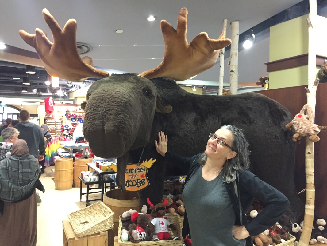
 Spike Bike will return!!!
0 Comments
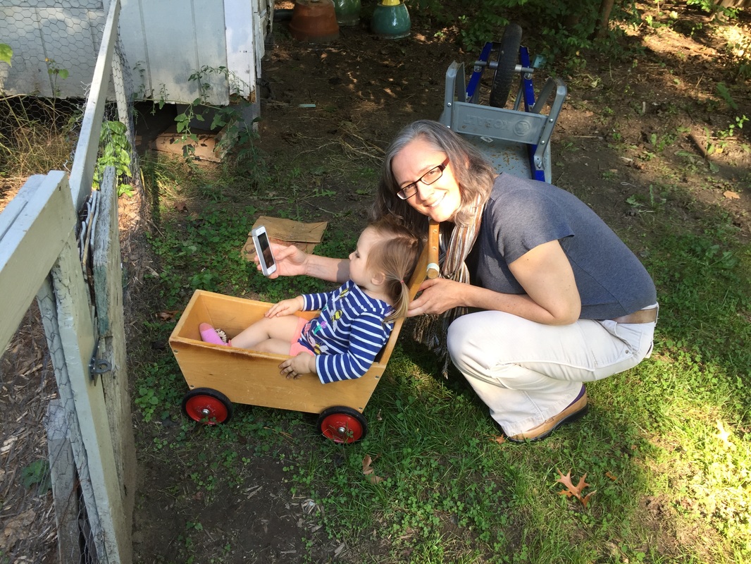
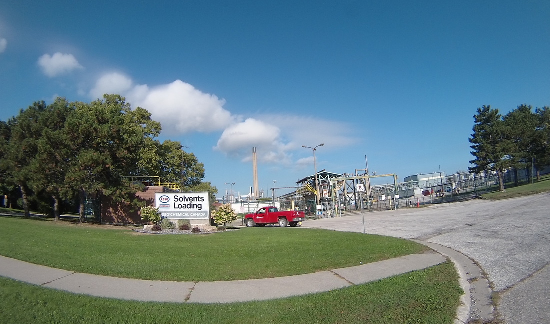
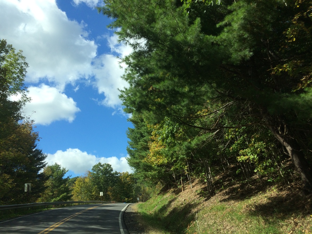
The final day of the trip was, by design, the longest at 80+ miles from Sarnia to Southfield, plus an international border crossing. It went off without a hitch. It was another perfect, sunny, fall day. The wind behaved except for a few runs where it blew into my face, but really in some of the flattest portions of the trip, and I got to see some interesting sites. Plus, my adorable two-year-old niece. Let's dive in, shall we? The day started with a brisk morning ride through the refineries of Sarnia. Now I know a few of you are thinking that sounds like the exact opposite of interesting. But given my background as a chemist, and the fact that these huge, complex machines are basically glorified distillation apparatuses, how can you blame me for being fascinated?
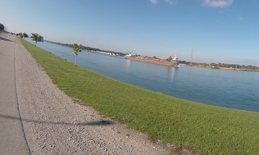
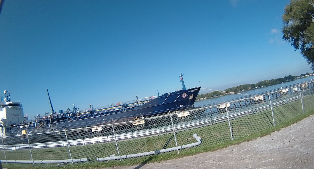
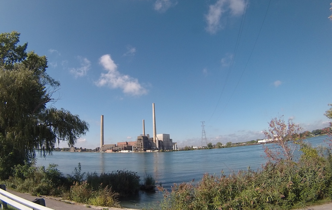
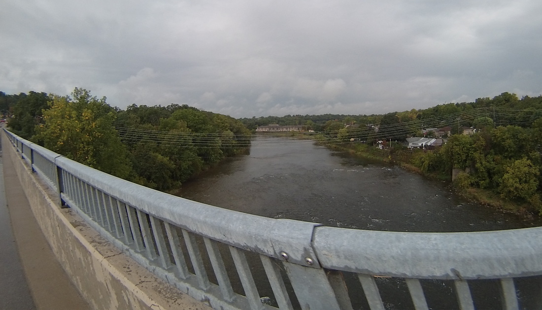
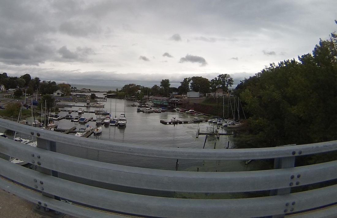
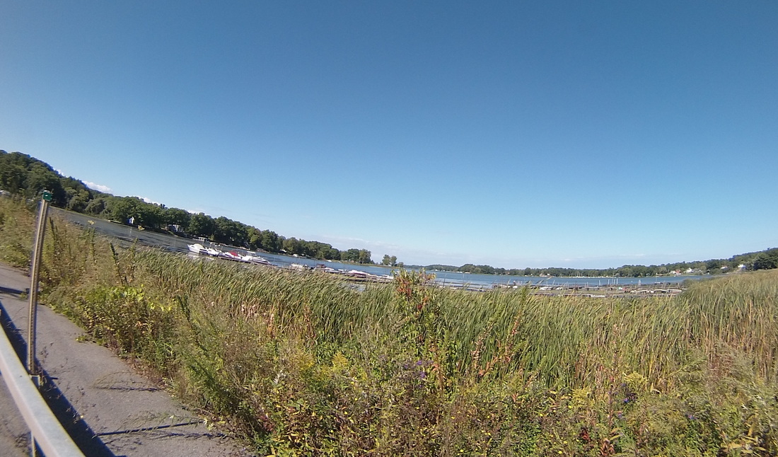
After refinery row, I got to the St.Clair River, a key waterway that connects Lake Huron and Lake Erie. I saw a few big ships bringing cargo up the river.
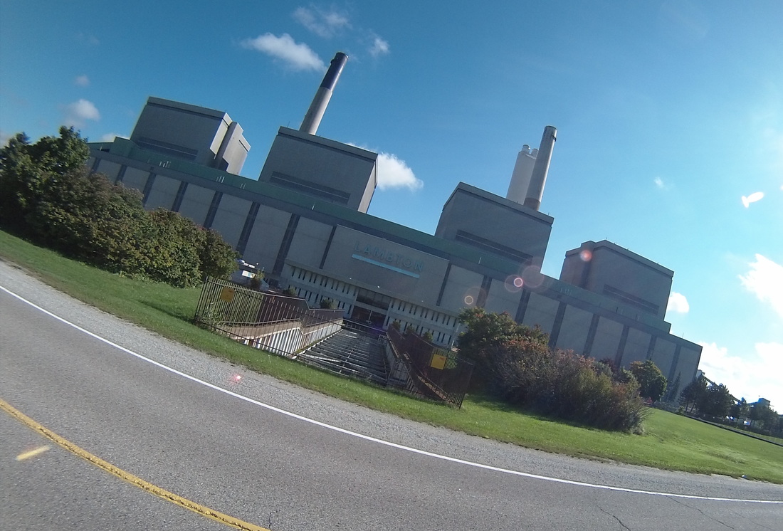
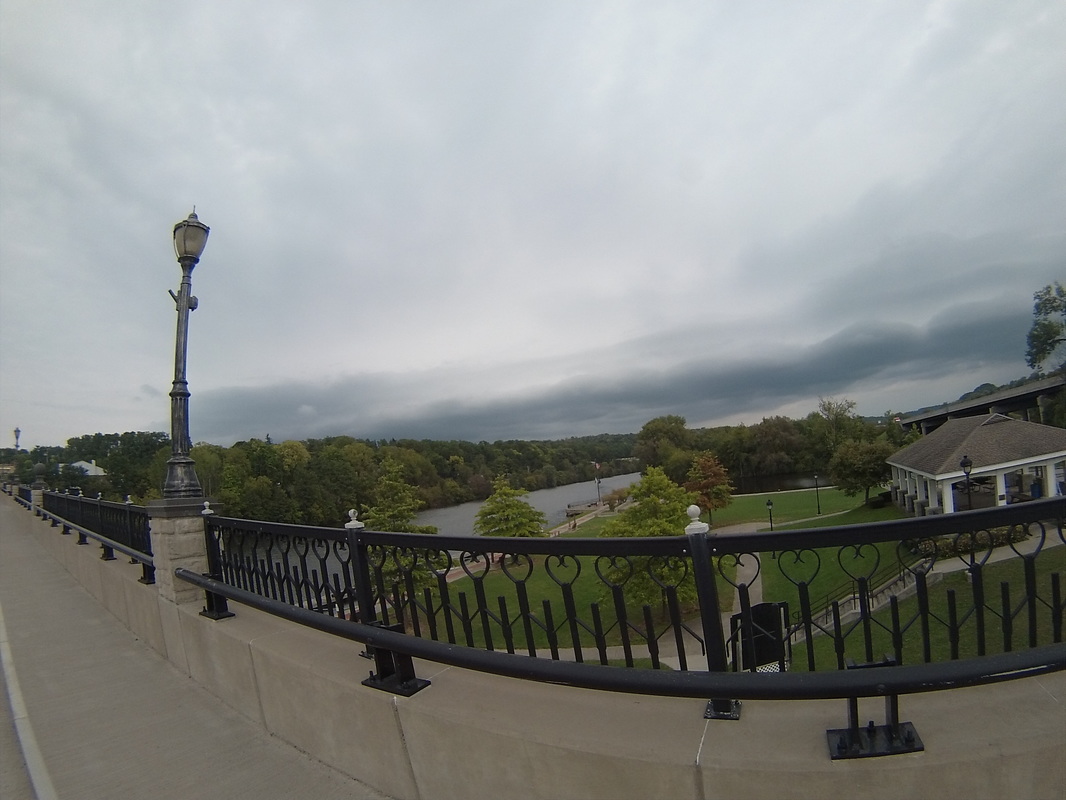
But the St. Clair River isn't just for commerce. It is also a delightful and picturesque recreation area. 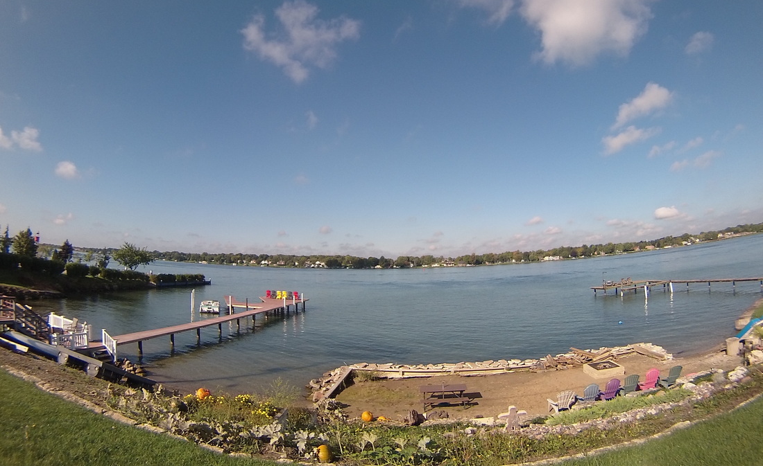 And since I started the day with oil refineries, I felt I had to continue the energy theme and document these former and current coal-fired power plants. The Lambton facility is on the Canadian side, was decommissioned in 2012, and may eventually get converted to a natural gas powered plant. Across the river on the American side, the St. Clair Power Plant was once the world's largest coal-fired facility. It is scheduled for decommissioning in the early 2020's.
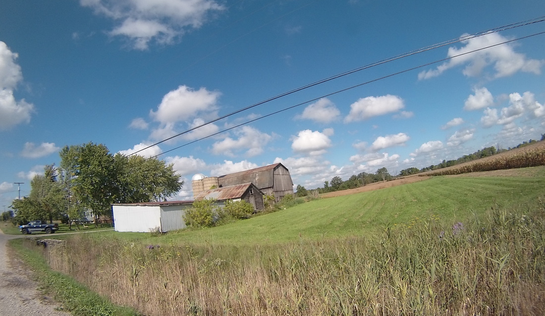
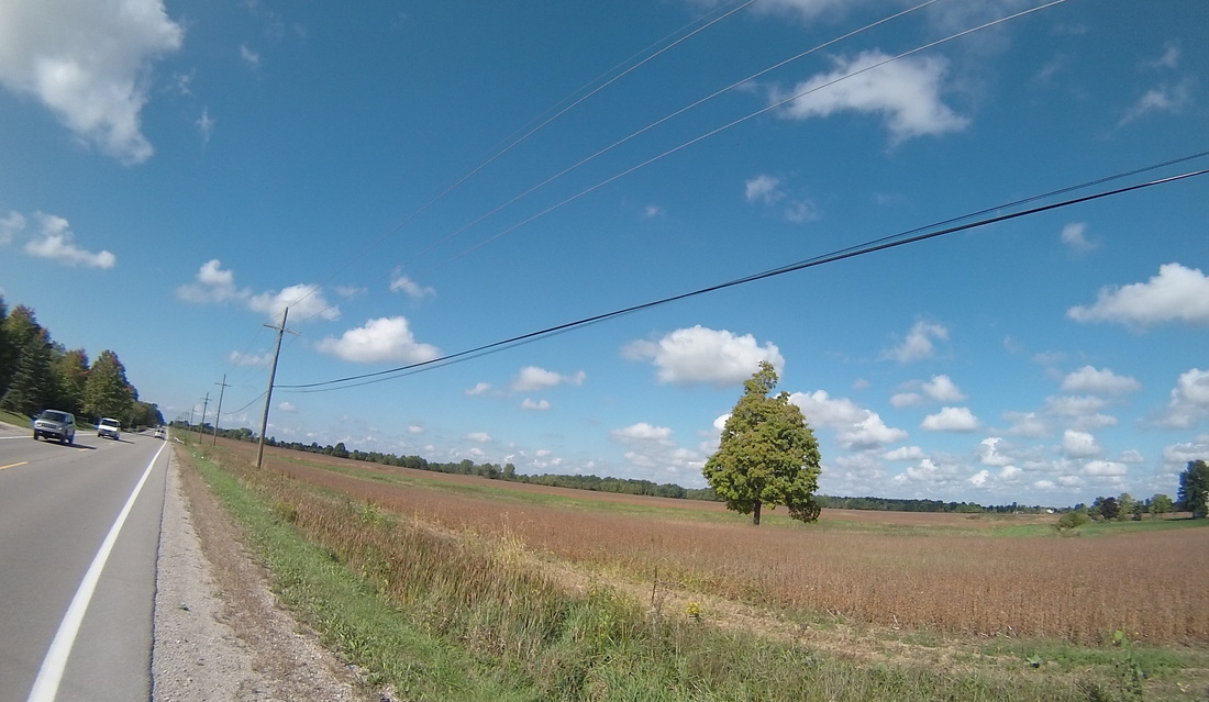
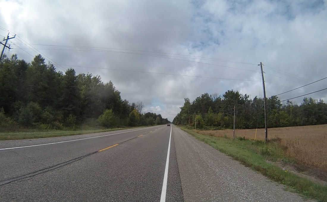
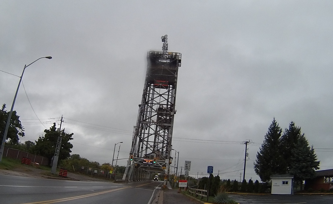
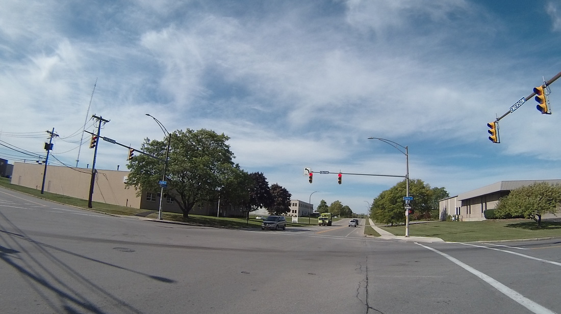
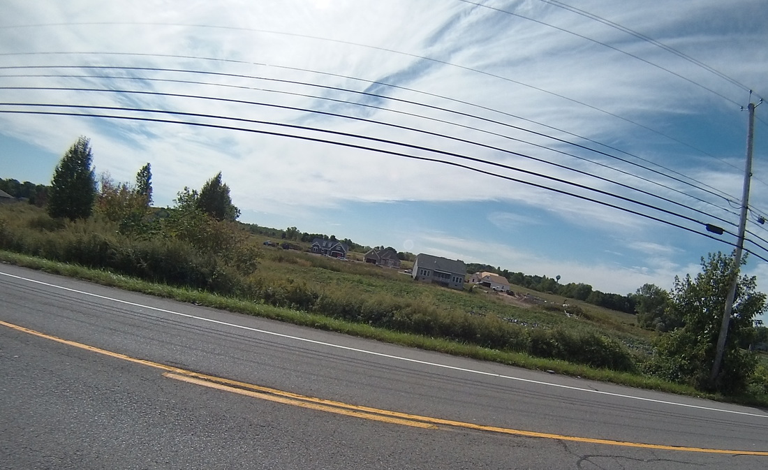
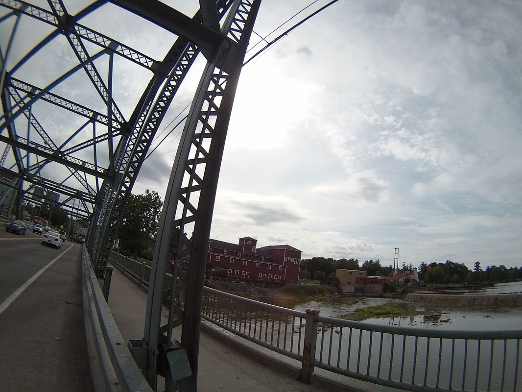
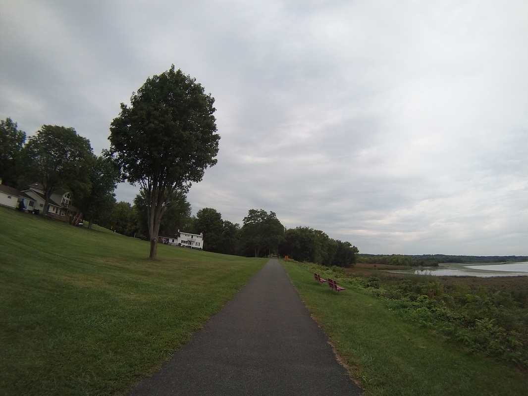
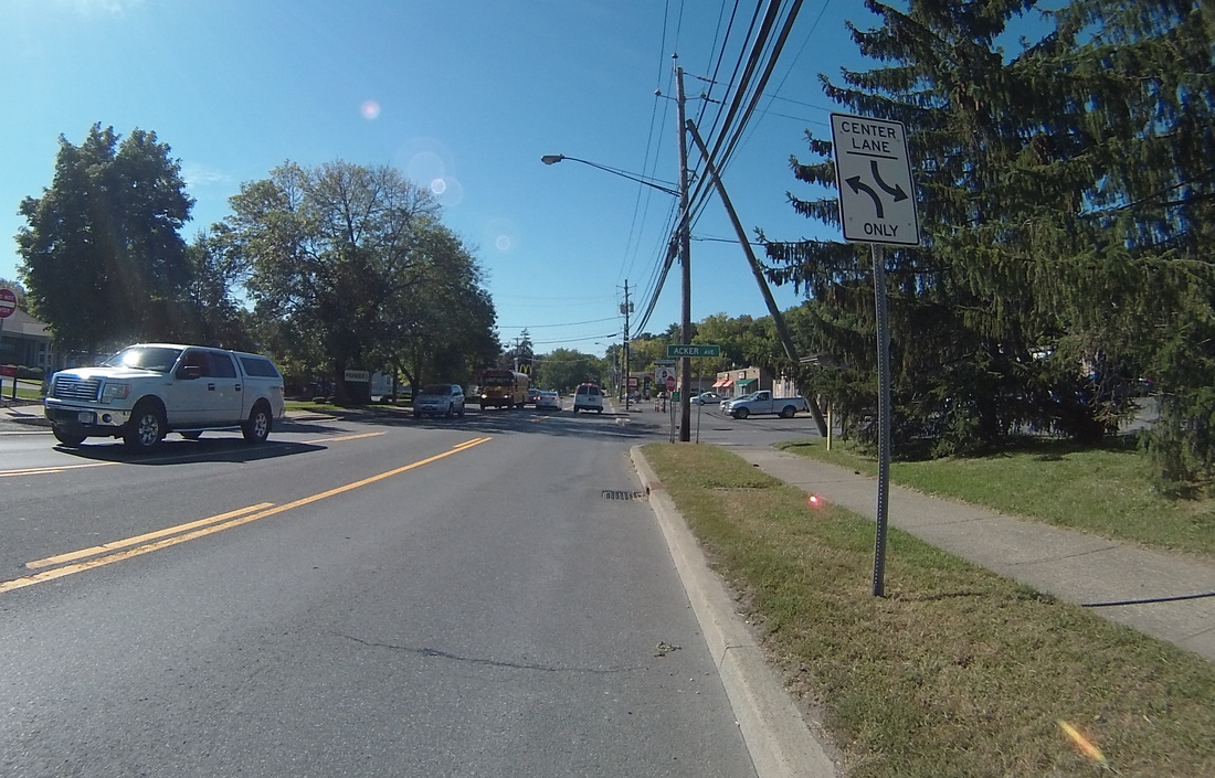
After I was done with the corridor of power along the river, it was time to say farewell to Canada and cross over the river via the Bluewater Ferry (although the color of the water was definitely more green than blue). The crossing was quick and easy. On the other side, the custom's agent looked at me in my Spandex bike gear and asked, chuckling, if I had anything to declare. 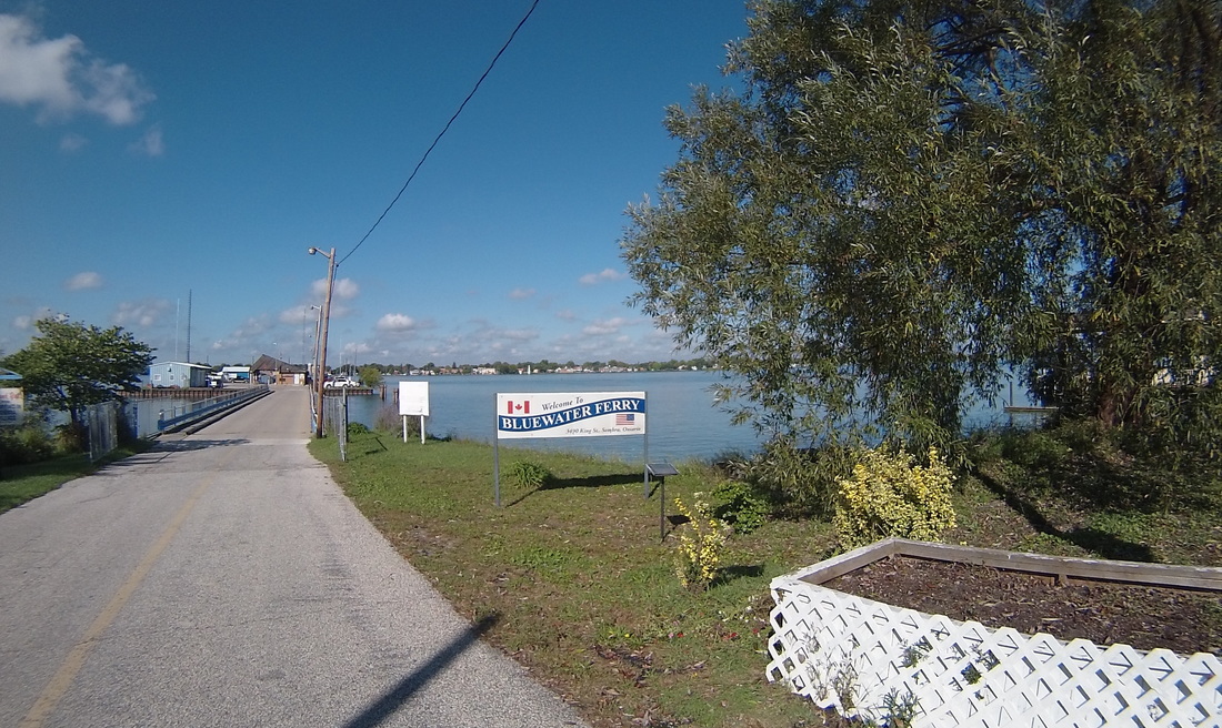 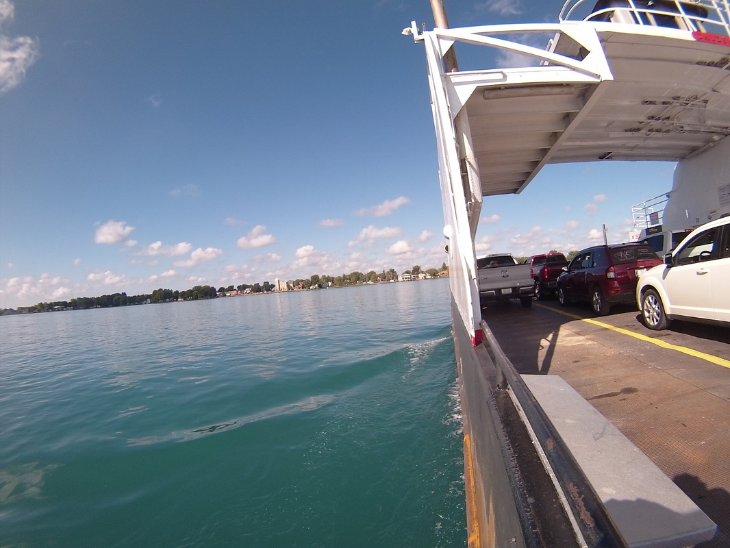 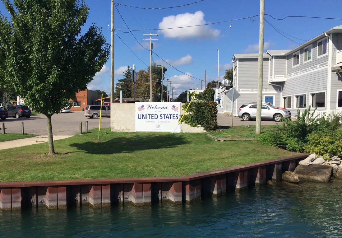 The next fifteen miles was through a rural part of Michigan (China Township, Anchorville, New Haven, Macomb, Waldenburg) that strongly resembled the previous day's experience in Ontario.
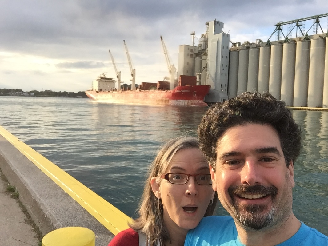
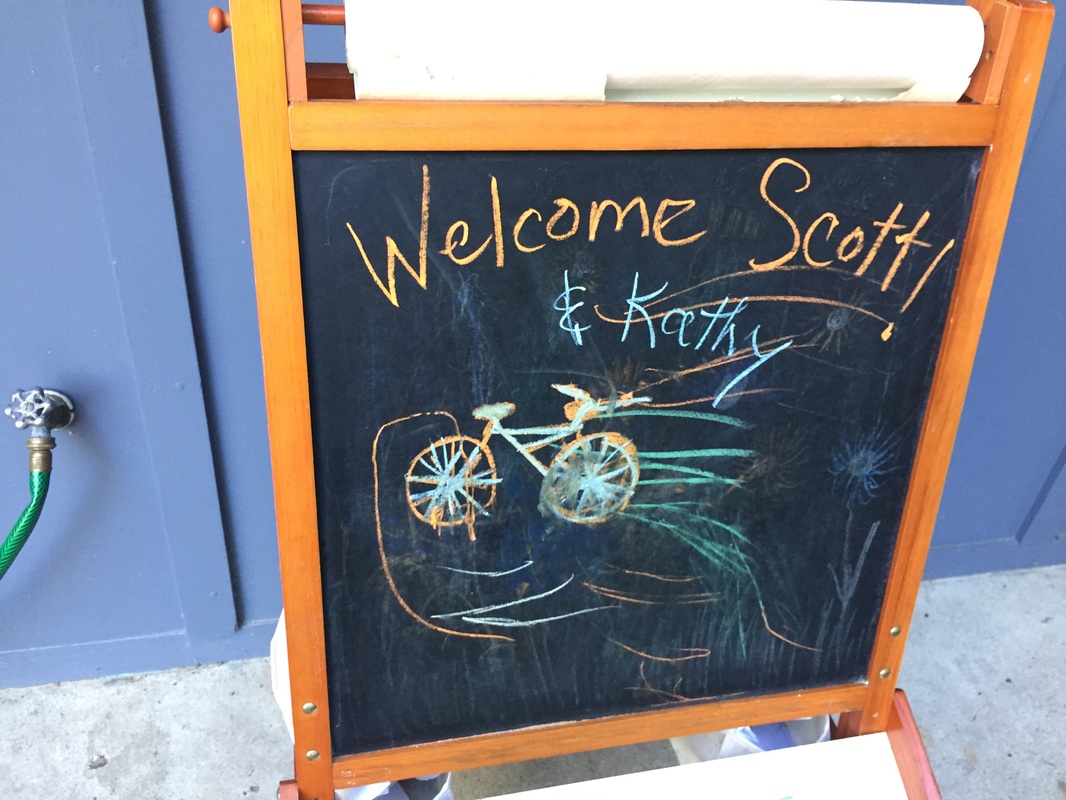
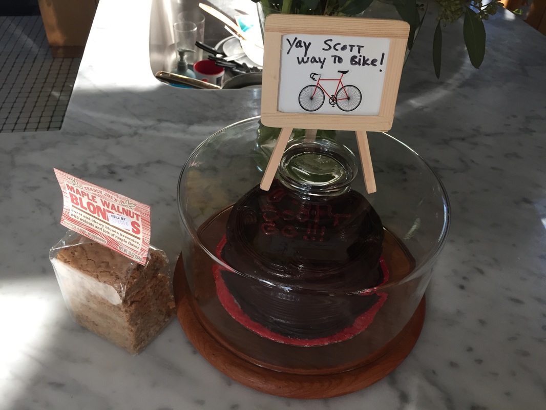
Then I hit the border of the Detroit Metro Area, and farmland turned to exurbs turned to subdivisions.  I rolled through Sterling Heights, the city where I spent the first six years of my life. I took a quick detour to snap a picture of our house, which we called "The old old house with the black garage" to distinguish it from a house we had to live in for a few months while our new house was being finished (too long a story to relate here). Anyway, as my brother remarked when he saw the photo, the garage is no longer black. Sometimes you really can never go back. . . 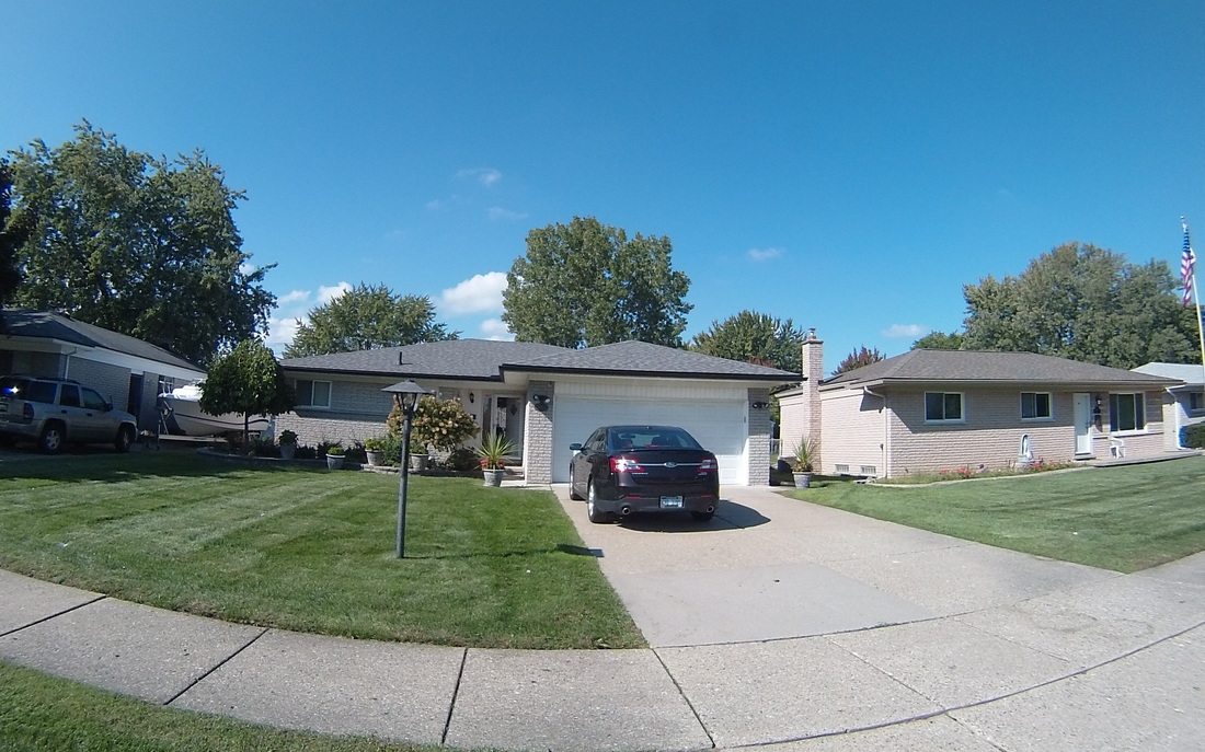 All that remained was to go through another twenty miles of suburbia until I reached my brother's house in Southfield. I was greeted with this great welcome sign and a custom-decorated cake! What a great ending to an excellent two weeks of biking.
I'll summarize a few trip statistics in the next few days. Thanks for tuning in!
Follow the link to view the ride:
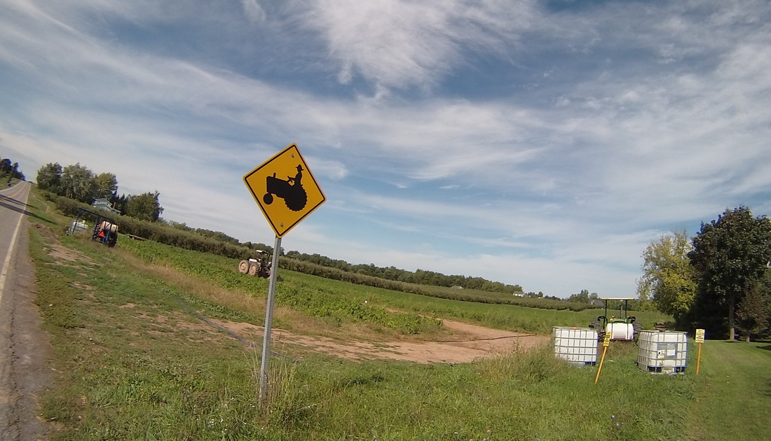
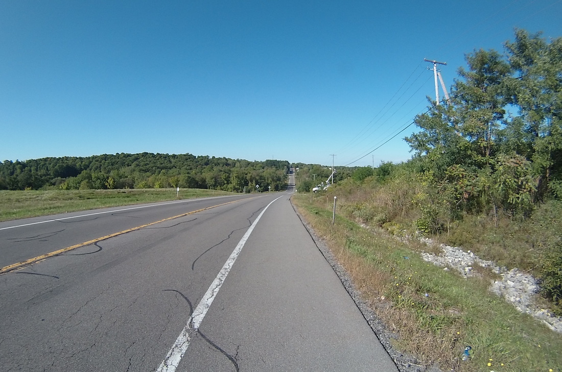
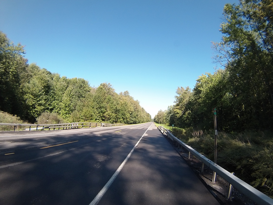
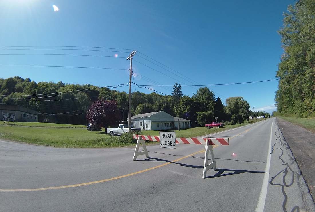
https://ridewithgps.com/trips/11368869 Today was the last full day in Canada and the first day in this country where there was no rain at all. It was perfect fall biking weather, with a cool cross-breeze and a mix of sun and clouds that served to highlight and augment the rural landscapes of the day. Getting out of London was simple, affording the opportunity to cross the Thames River on the way out.  The route today was to be dominated by two long, straight stretches of road, the first at around 10 miles, and the second at a whopping 42 miles (plus a four mile southward detour to get some food at the halfway point). This portion of Canada is relatively flat and sectioned off in a complex system with some roads making an East-West/North-South grid and others rotated 45 degrees, running on a Northwest-Southeast/Southwest-Northeast grid. This provided a challenge when I found that a large portion of the 10-mile stretch of road was closed starting today and the length of closed section was unknown to me at the time. 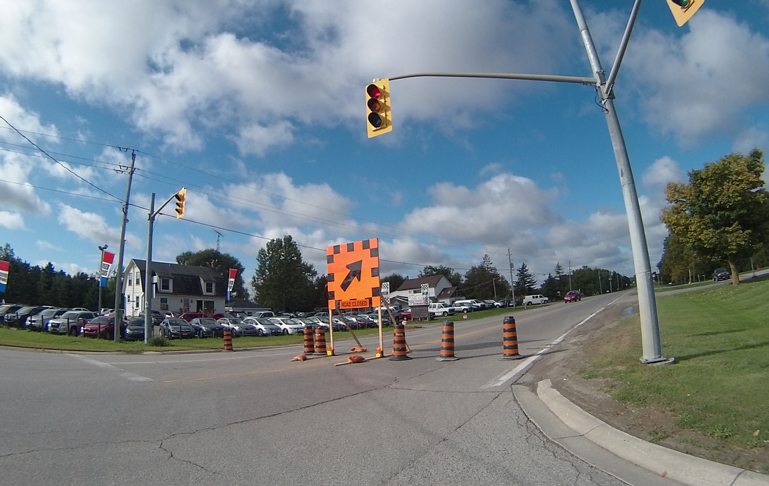 I do a LOT of research on my routes for each day, including satellite and Google street views to ensure the roads look safe to bike on and are paved. But one thing I don't do is try to look up whether or not there are any road closures. Perhaps I'll start doing so on future trips, but with a smartphone equipped with GPS maps, it's pretty easy to route around any problems that come up. That's what I did today. As shown below, I just found paved roads (Melrose Drive is dirt) that went in the general direction of the closed road (which wasn't quite as easy as I had hoped because of the wacky diagonal grid system), and guessed where the road might open up, knowing that I could always re-route again if I guessed wrong. 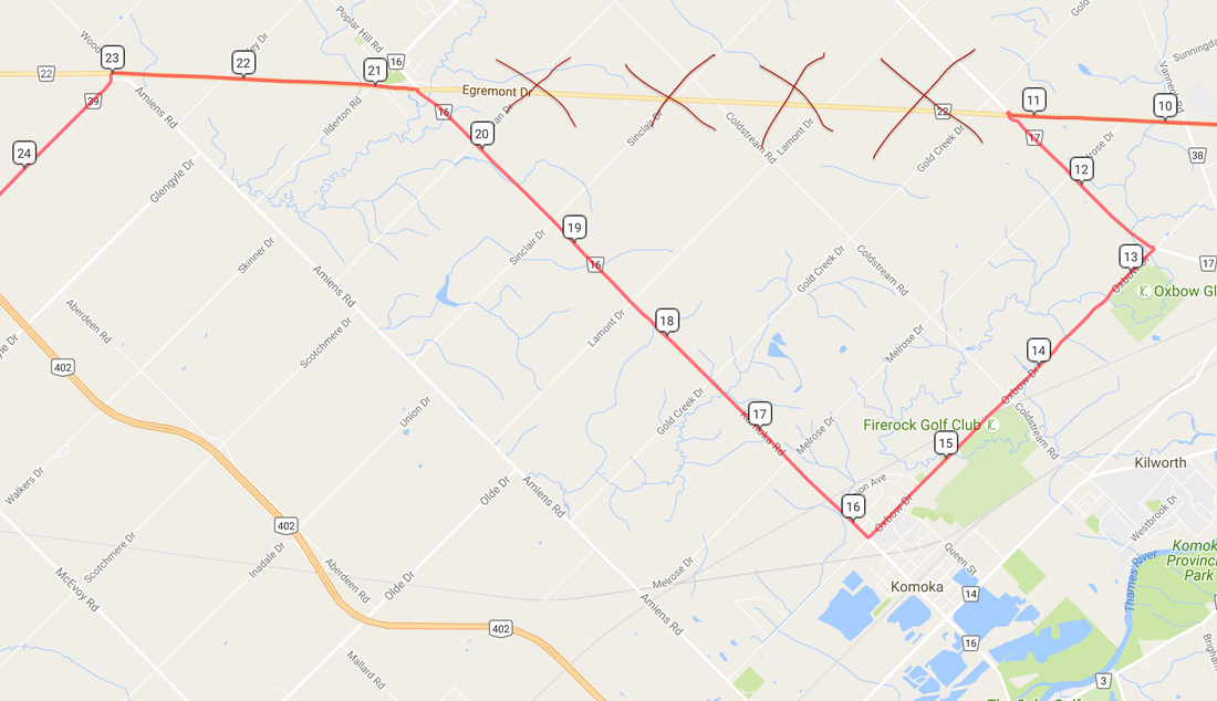 In this case, my guess was exactly right, and when I reached the intersection of Route 16 and Egremont Road, I saw the other side of the road closure sign. It added about four miles to the trip today, but I stayed on pavement and was ready for the next phase of today's ride. 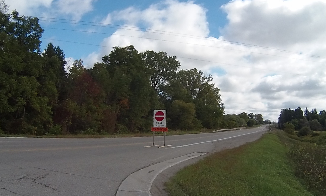 After a bit of maneuvering, I joined Route 33, the road that would take me due West, and with only a slight wobble where it joined Route 22, for 42 miles into Sarnia. To pass the time on this road, I took a photo of something that caught my eye every two miles. This collage is the result: 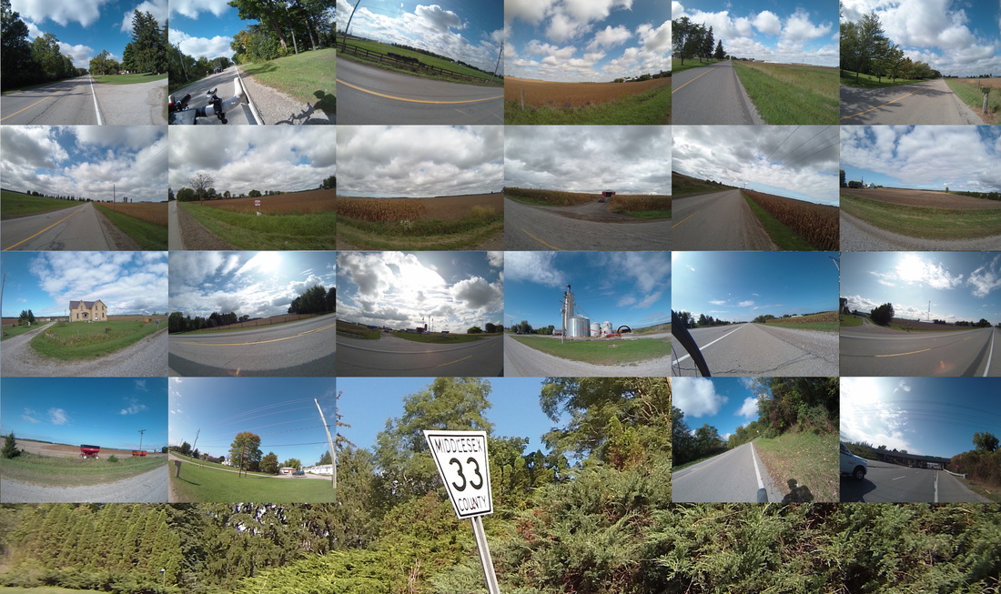 The road passed through farm after farm with very little else. In fact, at mile 40, I had to dip South for two miles out of the way so I could get a bite for lunch. I wound up at Four Sisters Pizzeria in Watford, where I was promptly greeted at the door by the six- or seven-year-old grandson of one of the sisters. "What are you eating?", he asked immediately as I walked in the door. "Ummmm...I'm not sure. What do you have?" [he lists pizza, a few other items] "I think I'll go for the pizza." "One or two slices?" [This is all before I've gotten past the welcome mat, mind you, and the counter is about 50 feet into the store.] "Two, I think" "GRANDMA! THIS GUY WANTS TWO SLICES!" I proceeded to talk to grandma, who was very nice and let her grandson know that I was biking today. I was happy to share my story, and when I told him that I was going another 50 kilometers to Sarnia, he said "Oh! You must have to bike very fast!" "Not too fast", I said, "just slow and steady". So I slowly and steadily made my way to Sarnia. We had a great Irish pub dinner right next to the Port of Sarnia, where we watched the "Federal Mackinac" get loaded with grain from the Cargill terminal. 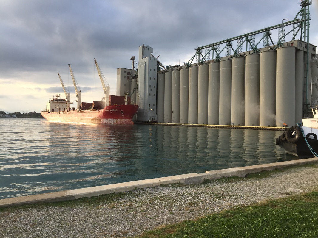 Tomorrow is the last day! I'll be biking 80 miles from here to Southfield, where we'll be staying with my brother's family and hanging out in the D for a few days. Join us for the final push!
https://ridewithgps.com/routes/15125707 Follow the link to view the ride:
https://ridewithgps.com/trips/11356749 We woke up to a driving rain and forecast full of showers and thunderstorms all along the route today, so I knew it was shaping up to be a rough one. Luckily, today was a shorter 52 miles, so I had some time to figure out the best time to start. Watching the weather radar while eating breakfast with our hosts and their daughter and grandkids, I waited until a hole in the storm cell came around and took off. Playing the hole in the weather was appropriate given that their home is located at the edge of a golf course. 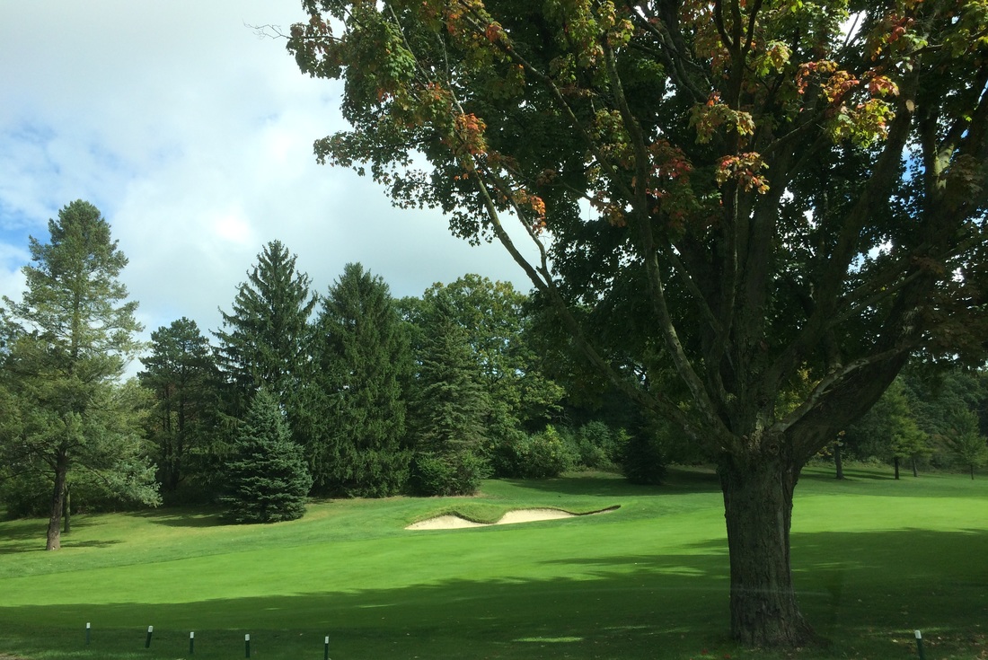 The radar didn't lie. The conditions were wet, but it wasn't raining as I turned out of the course and onto the road. 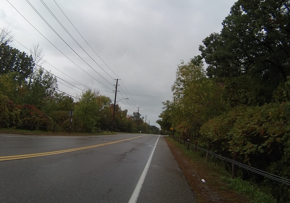 The weather held all the way to lunch. After some initial twisting to cross the Grand River and get out of town, I latched on to Brant County Road 2 and it was a straight shot to lunch in Woodstock. The sun even peeked out a few times.
I had lunch at Fritzie's, the "French Fry King" of Woodstock. Burger, Poutine, Chocolate Shake. Yummmm.
I observed the radar at lunch and saw that there were a few cells between me and London, but they were impossible to time. Turns out, it rained pretty much the entire second half, from five miles out of Woodstock up until the city limits of London. It was never a thunderstorm, thankfully, but between a sometimes driving rain, a moderate headwind, and a small but steady incline, it was slow going towards the city limits. And my butt was soaking, and not in a good way. 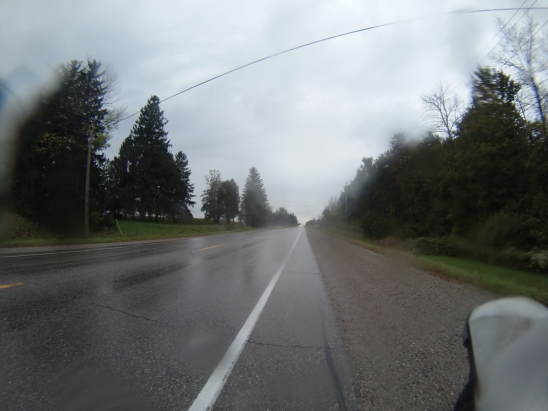 The rain finally let up for good just inside the London city limits, as soon as I passed the pig at Trail's End Market. Continuing on the same road I turned onto earlier in the morning, I pulled up right to our hotel (the fabulous Hotel Metro) and took a nice hot bath, a much more acceptable way to soak one's butt. 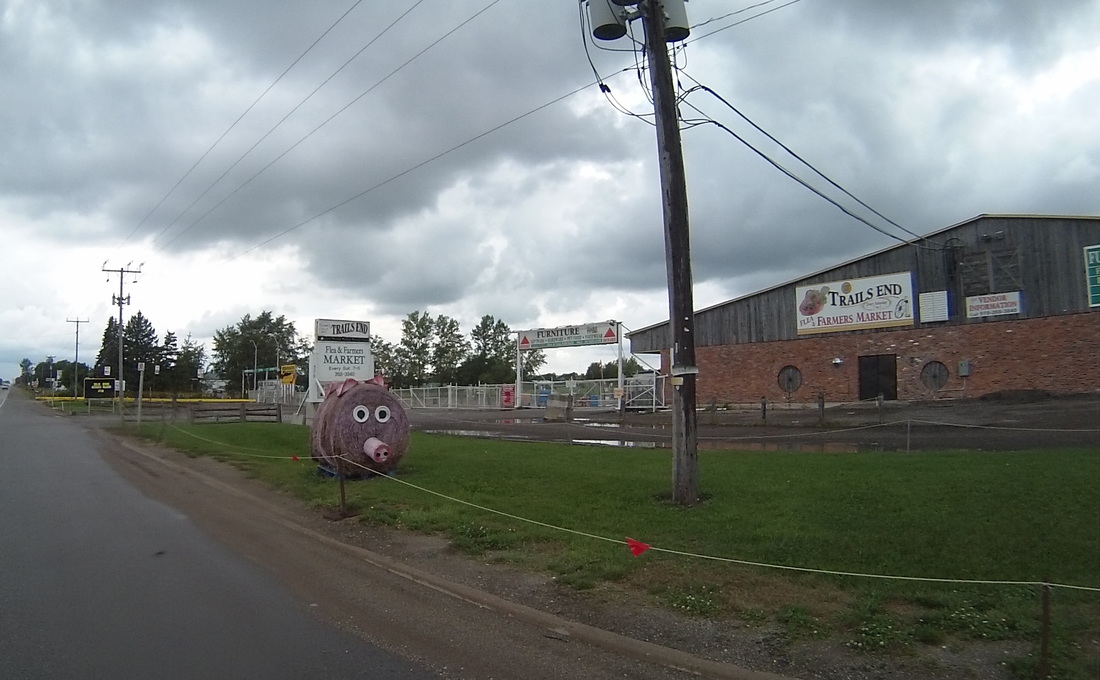 Tomorrow, we head for Sarnia, our last stop in Canada. The route features a mind-numbing 45 miles on a perfectly straight road. Maybe I'll take a picture every mile and make an animated gif out of it or something.
https://ridewithgps.com/routes/15125509 Follow the link to view the ride:
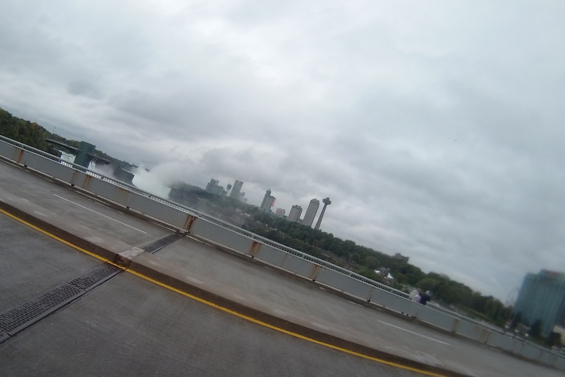
https://ridewithgps.com/trips/11341518 Today was the longest ride of the trip so far (75 miles), and the weather forecast called for rain all day. As a result, I was ready for a rough slog today. As it turned out, the distance wasn't too bad, and it only rained for the first 5 miles of the trip. Definitely better than what I thought it would be. The ride started out pretty messy leaving Niagara Falls.  The rain was already starting to clear up when I reached the Welland Canal in Allanburg. I bet you thought we were done with canals when we left the Erie Canal behind, but the Welland Canal is the primary means for ships to get from Lake Erie to Lake Ontario without going over the falls. There was a great lift bridge at the Allanburg crossing.
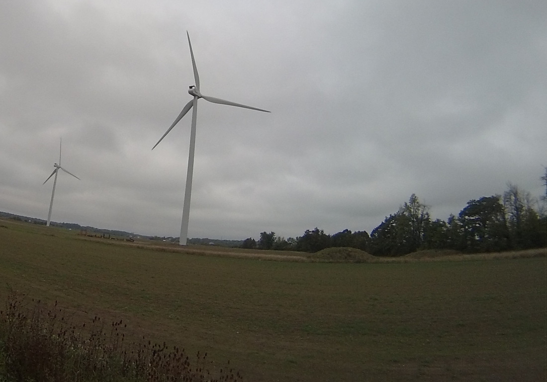
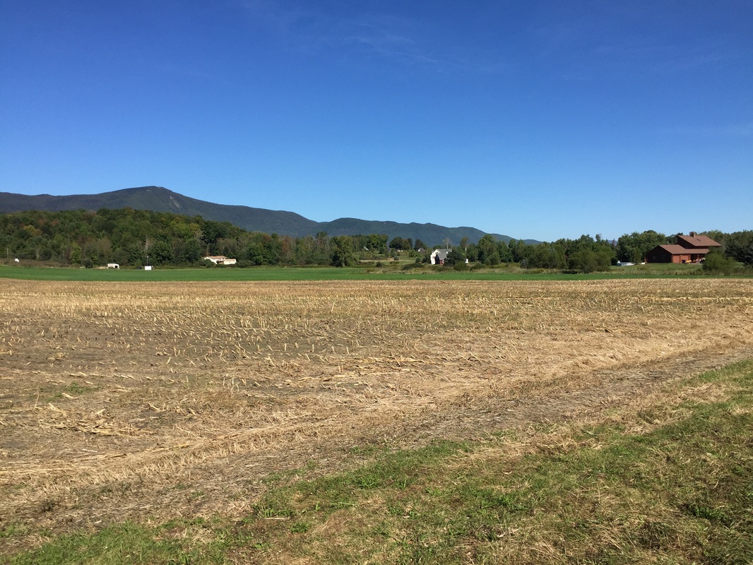
By the time I got into Effingham and North Pelham, the sun was even starting to peak out. 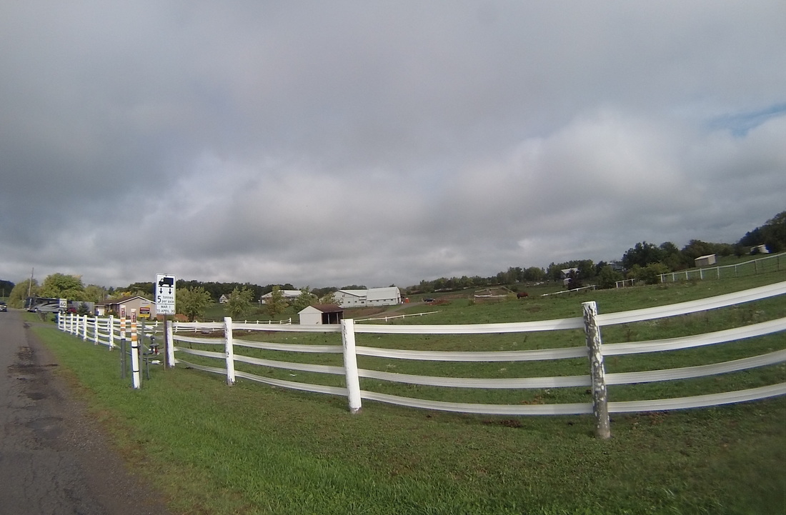 The agriculture in the area started off as vineyards, then transitioned to farming corn and wind. 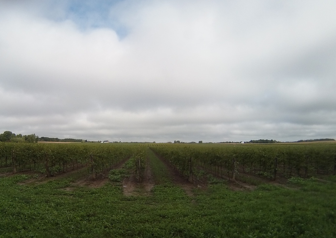
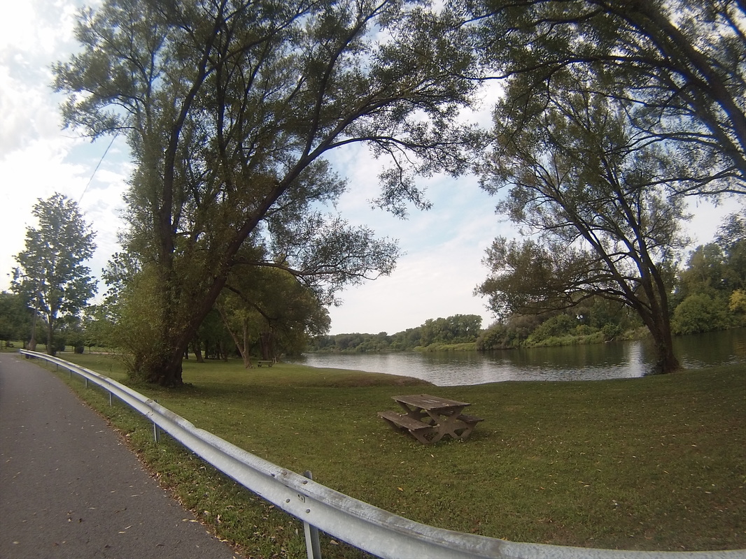
I rode all day on a series of farm roads. Many of them were very straight. 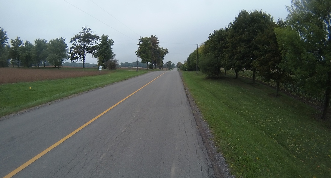 Eventually they led to Brantford, and once through town, I rode to our destination for the evening: a renovated farmhouse on the banks of the Grand River, home of some friends that we met on our eclipse tours. 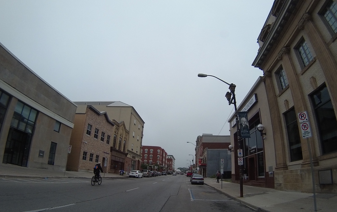 A family of bald eagles nests near their property. They frequently hang out on a tree branch right behind the house, looking down into the river for fish to scoop up and eat. 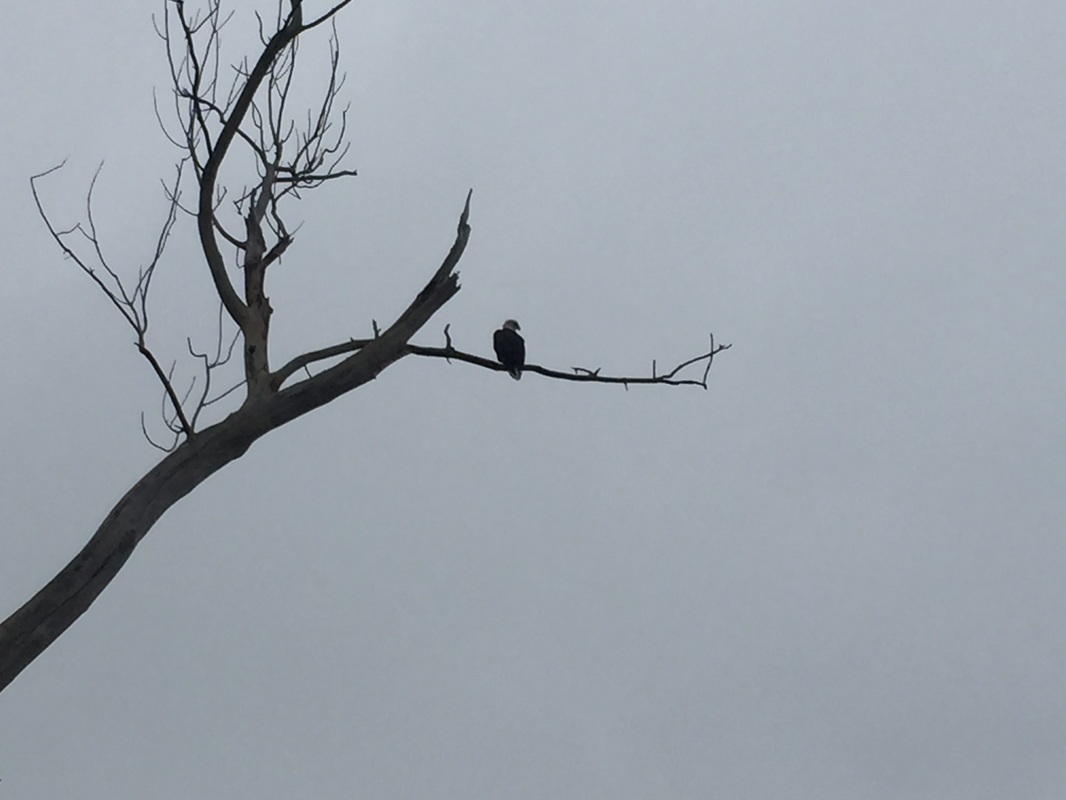 Tomorrow, a slightly more normal (52 mile) day to London, Ontario. There's rain again in the forecast, but I'm hoping my luck holds and I'll be able to squeeze through the storm cells like I did today.
https://ridewithgps.com/routes/15125176 Follow the link to view the ride:
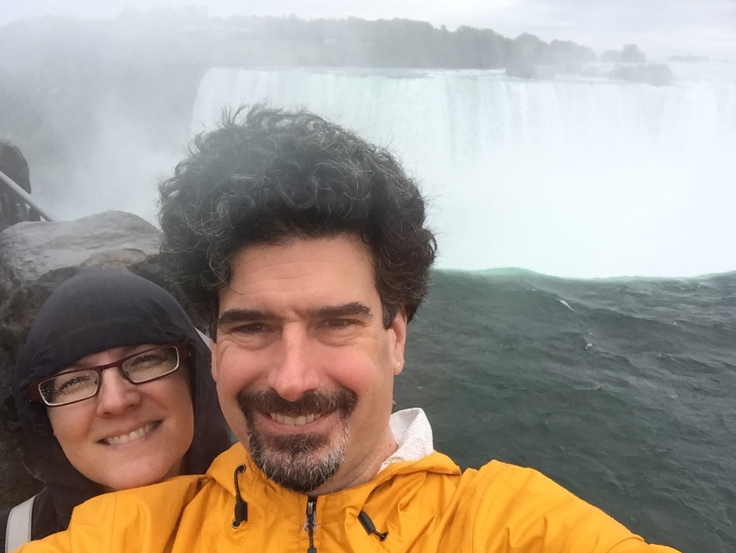
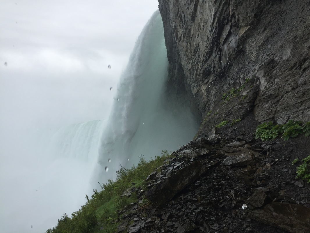
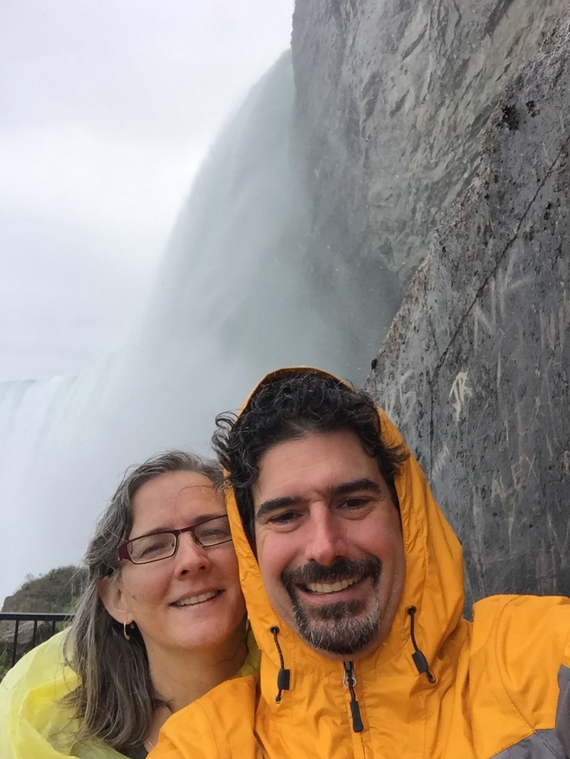
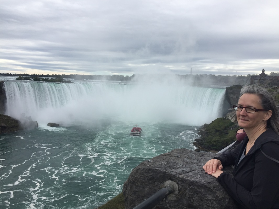
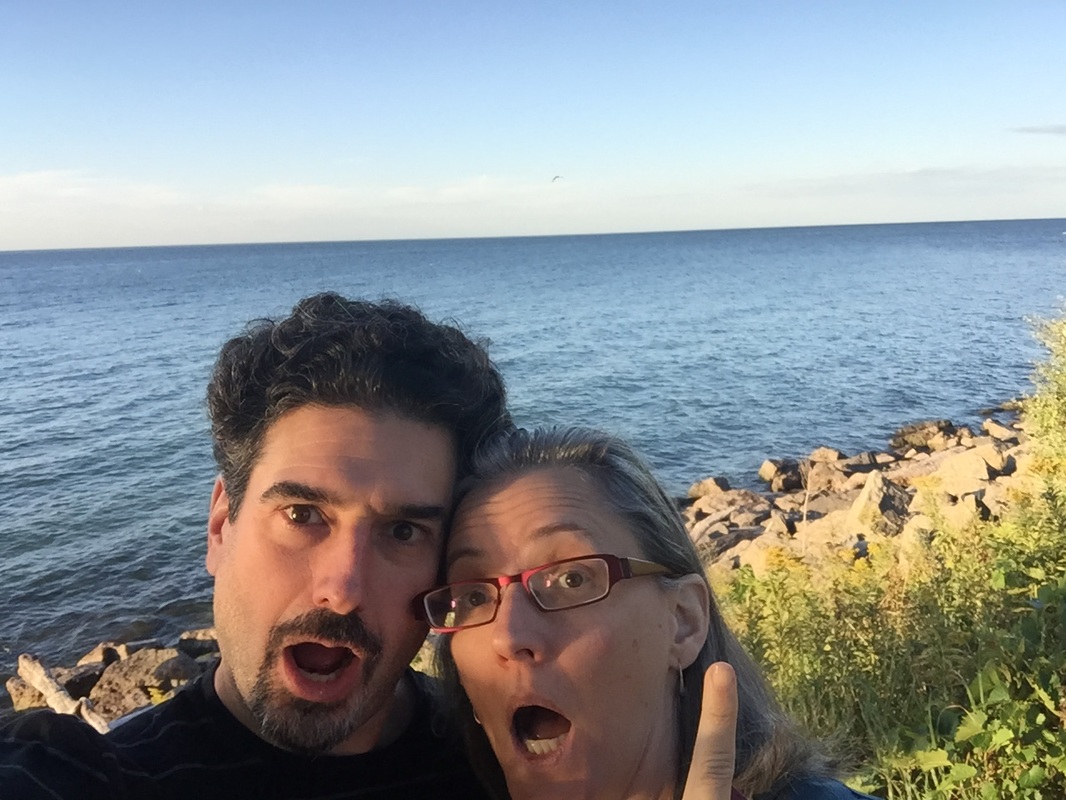
https://ridewithgps.com/trips/11323833 Today, Kathy and I took the opportunity to recharge our batteries (both literally and figuratively), do a little sight seeing, and prepare for the trip through Canada. Here are some pictures of our day at the falls:
Tomorrow we start the trek across Canada, stopping in Brantford, Ontario
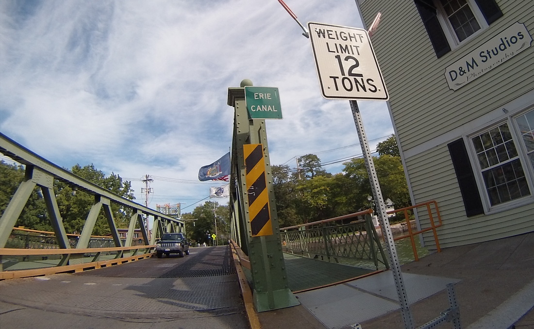
https://ridewithgps.com/users/122017/routes I have had unbelievably good weather for the first nine days of this trip - generally sunny, warm but not too hot, and no rain to speak of. That all changed today, with rain showers on and off all day. But the rain never really got so bad that it was more than an annoyance. It did make it a bit difficult to photograph my very last, swear to god final, photos of me crossing the Erie Canal.
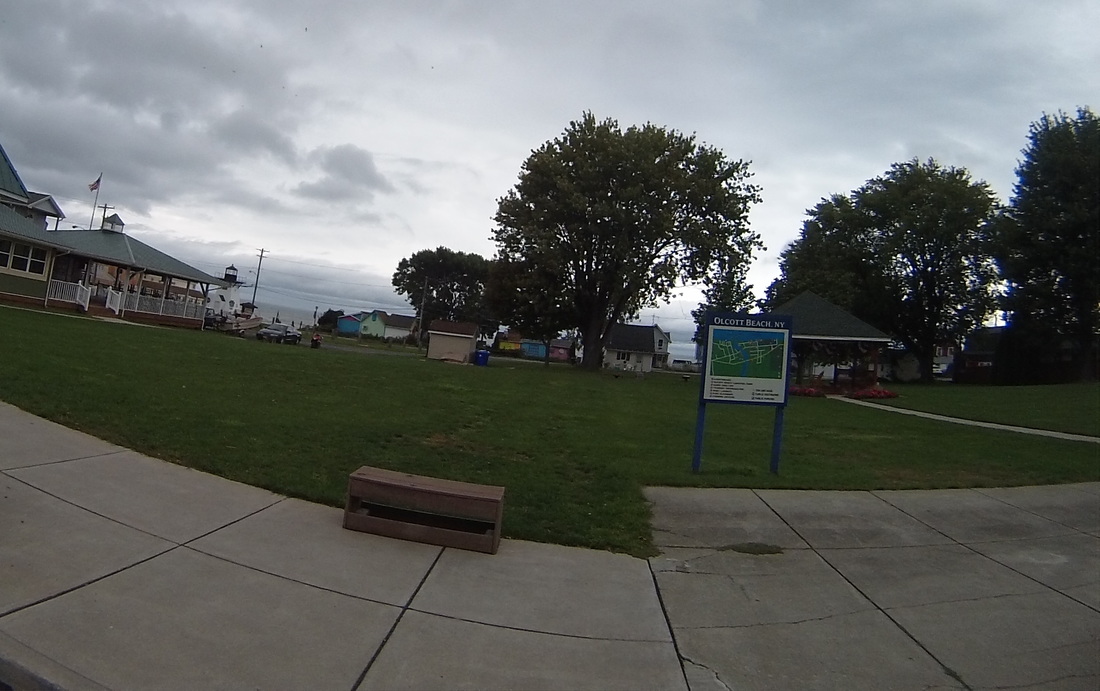
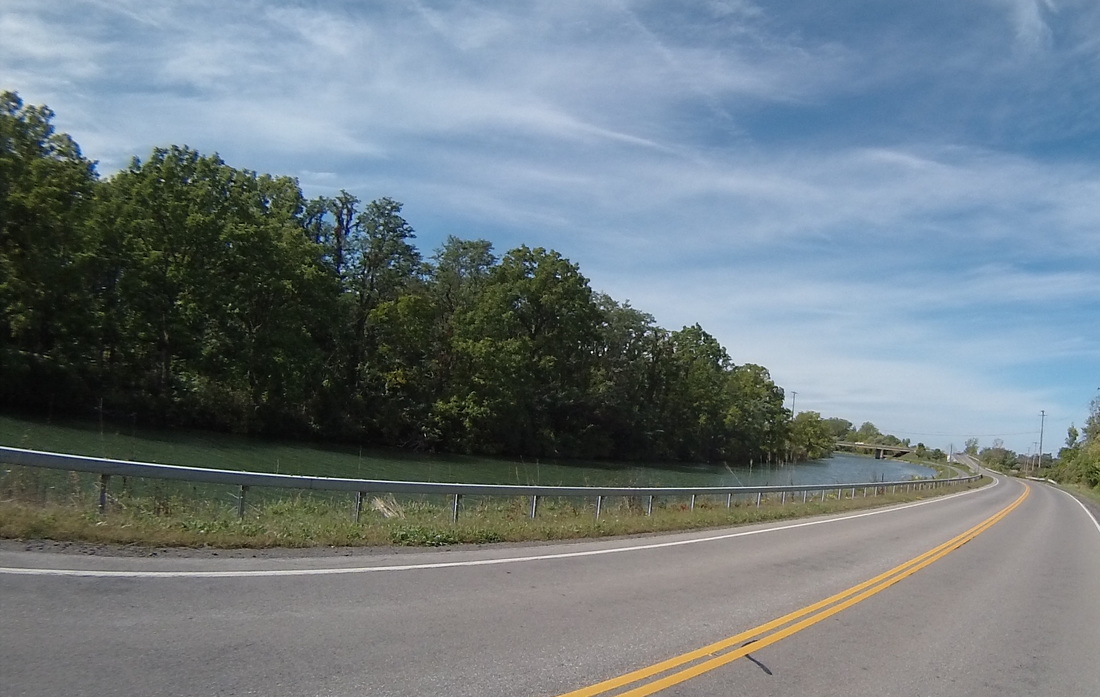
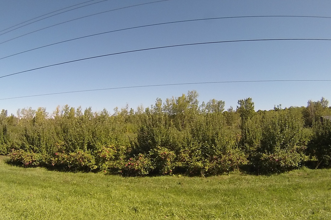
After I left Medina (and crossed the canal), I headed North to follow Lake Ontario. As soon as I turned West, I was pushed along by a 15 mph Easterly tailwind. That made riding through the occasional rain sprinkle considerably more bearable. There were two distinct agricultural segments of this portion of the trip. The first was the meat and dairy zone, punctuated by the strong septic scent of a mass of cows and my first view of veal pens. I think these constitute "free range" pens because the lambs have a little fenced-in outdoor area they can walk around in. 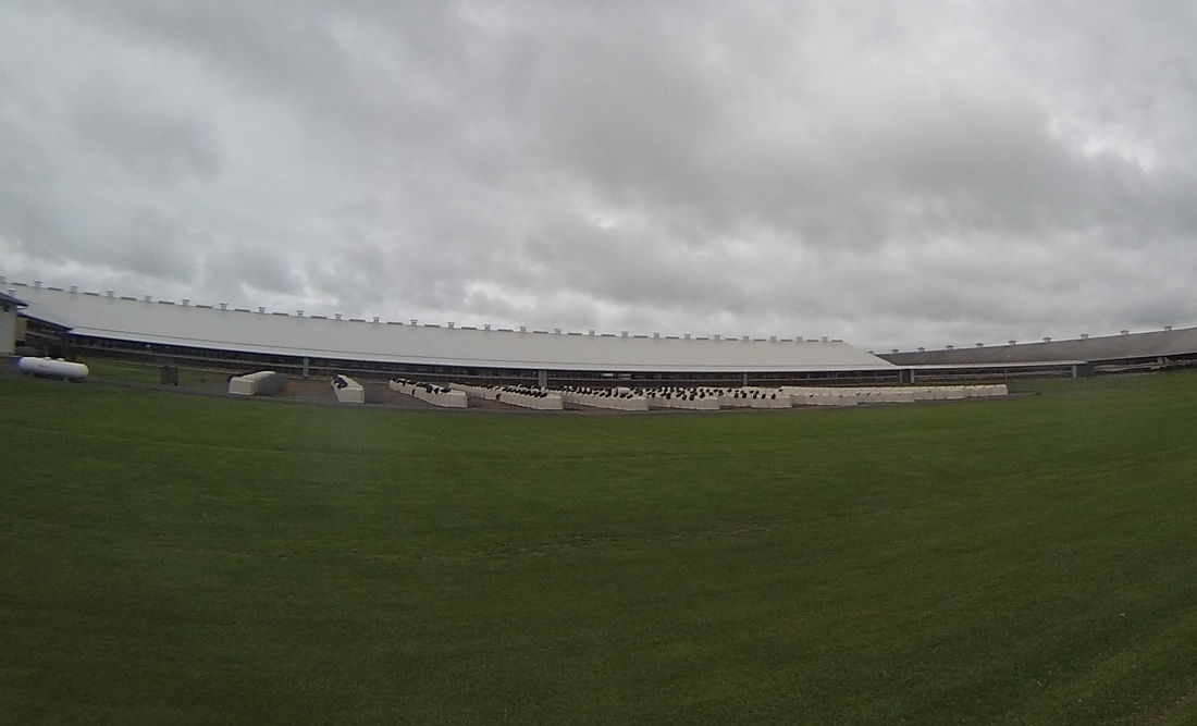 I took the following picture to remind myself of the next agricultural segment of today's trip, which was the delicious smell of apples everywhere. They were being harvested, they were on trucks, they were being squeezed and processed into beverages. It went a long way towards erasing the smell of cow shit and the view of that veal-to-be. Also, apple trees amaze me because they are just so loaded with apples. 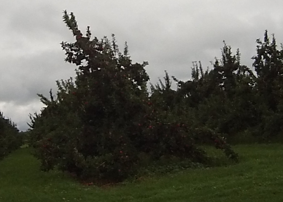 I got to see Kathy multiple times today! We took almost the same route, so we met for lunch in Olcott. She also stopped by the road and took photos and video of me passing her like four or five times. I'm sure she'll end up posting those pictures at some point. So anyway, Alcott is a cute little beach community on the shore of Lake Ontario.
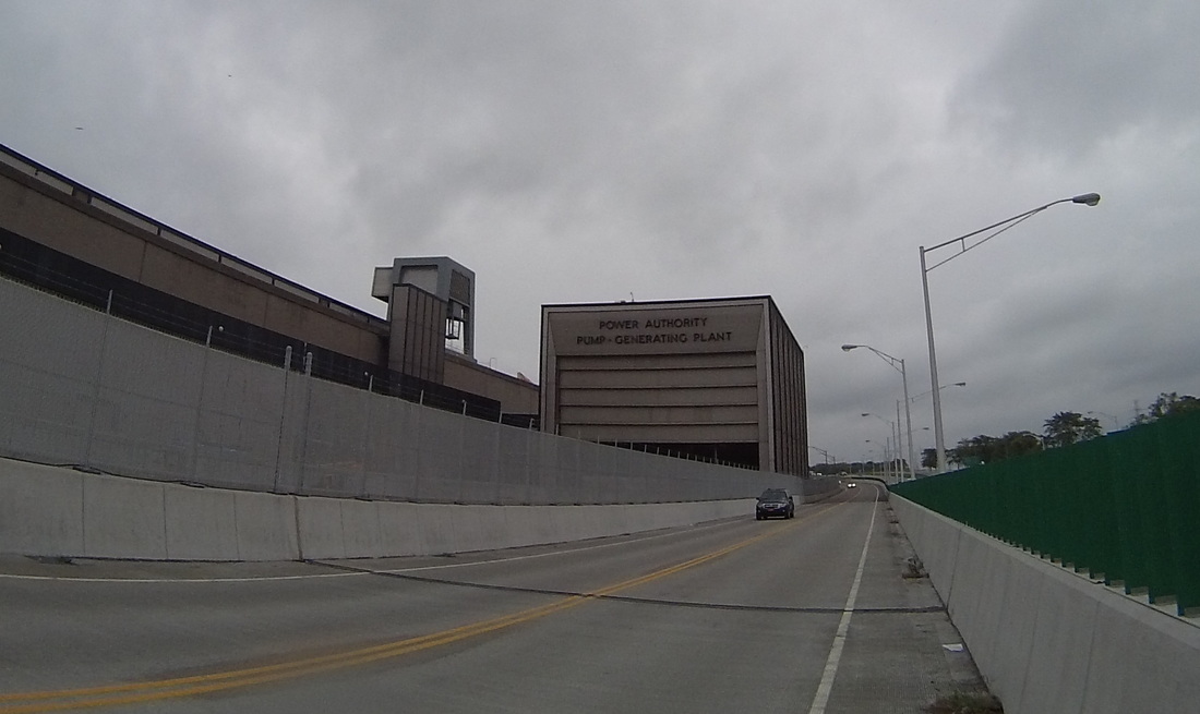
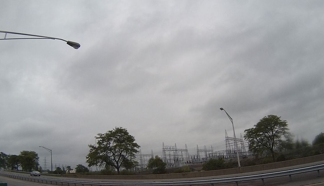
We ate at the Park Place Diner, which would have been a singularly excellent experience if it weren't for the fact that across the street from the diner, in extreme Northern New York, some jerk decided to proudly display a Confederate flag. This is actually the second such flag I've seen in my tour of upstate New York (the first one was set up next to an American flag with Trump superimposed on it. Seriously). Something tells me this isn't about Southern pride. Yuk.  Then, about seven miles West of the lunch stop, more drama! I got my first flat tire of the trip. I have all the gear to fix a flat on my own, but I still called on Kathy to bring the Spike Shadow around for extra pumping and to replace my spare tube and CO2 cartridge. I love having such great support on the trip! 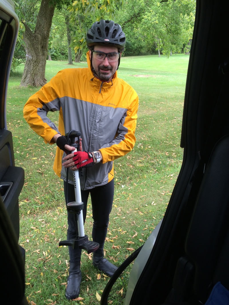 Kathy and I met up again at Fort Niagara, about 45 miles into the ride. We got to do the old "Kathy. Cannon." gag again. Never gets old. Here she is, contemplating blowing away the British garrison on the other side of the Niagara River. 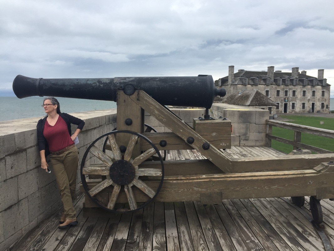 From the fort, I headed south down the river, past the New York Power Authority, and into Niagara Falls, NY.
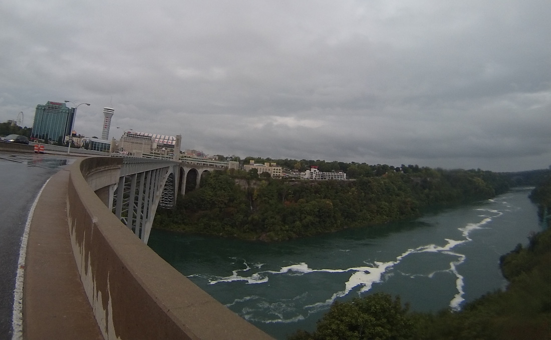
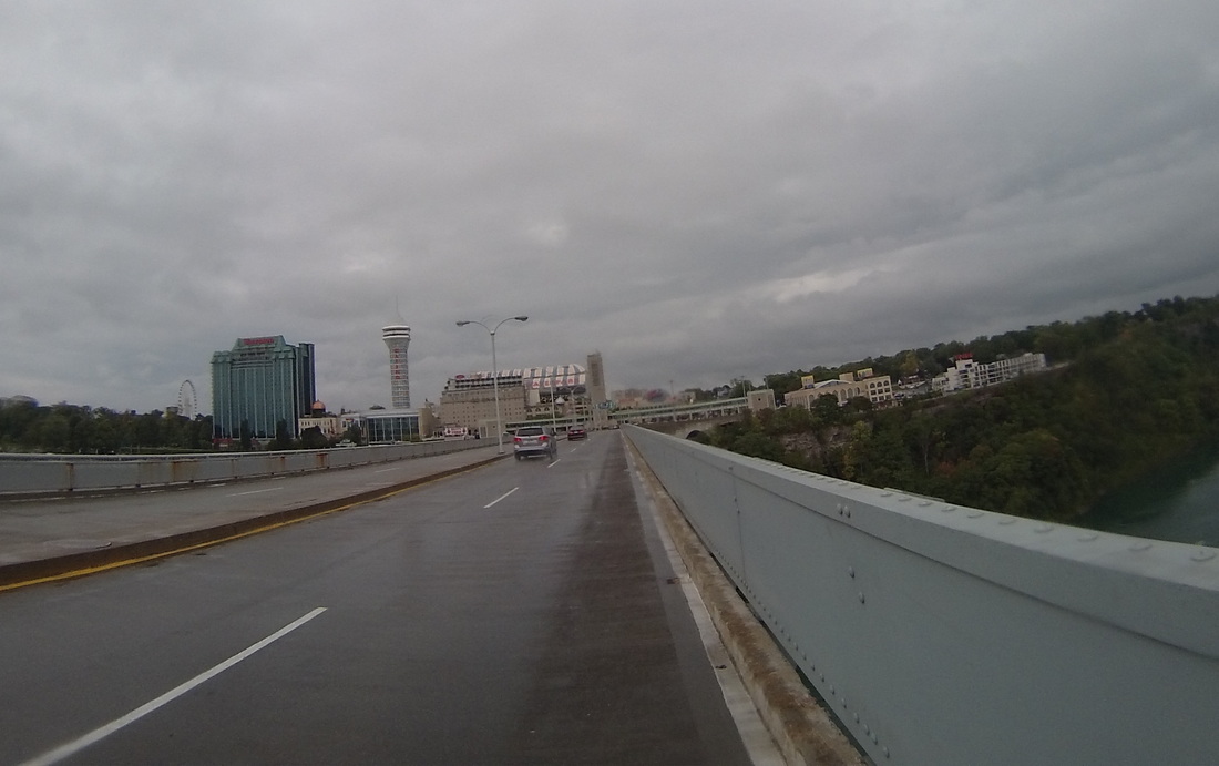
What remained to do was cross over the border into Canada and meet Kathy at the hotel. This was complicated by the fact that I originally tried to cross over the pedestrian walkway of the Rainbow Bridge. I was stymied in my attempt by large "NO BICYCLES ON WALKWAY" signs, as well as decidedly bike-unfriendly turnstiles. So I just drove up to the vehicle entrance, and that seemed to work out fine. I only had to pay 50 cents to get across (auto toll is $3.50)! On the way across, in traffic, I managed to get these pictures.
The Canadian Customs agent was thorough in his questioning, but I was ultimately allowed into the country, where we'll stay for the next five days as we head West across Ontario into Michigan. Tomorrow is a rest day in Niagara Falls.
Follow the link to view the ride:
|


  |   |
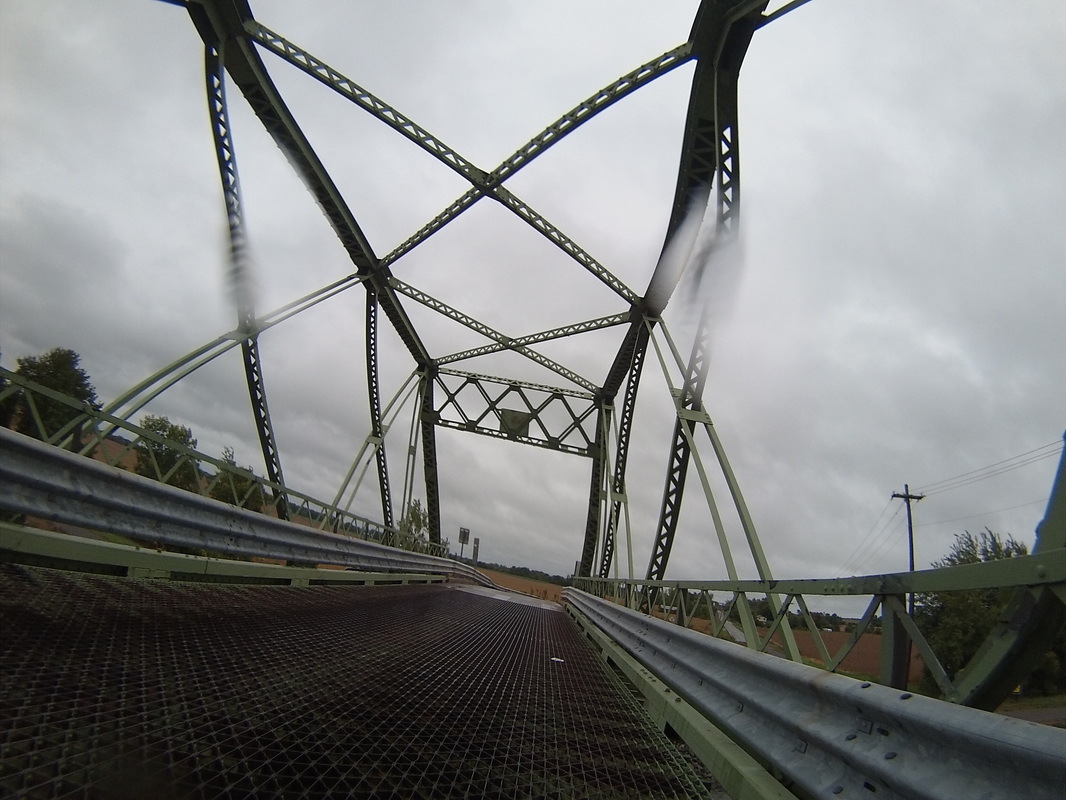
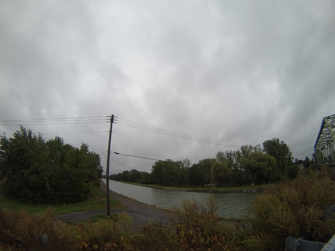
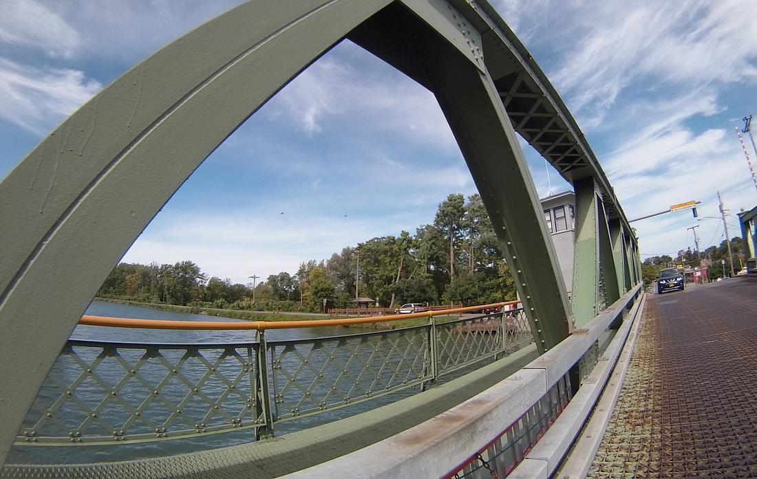
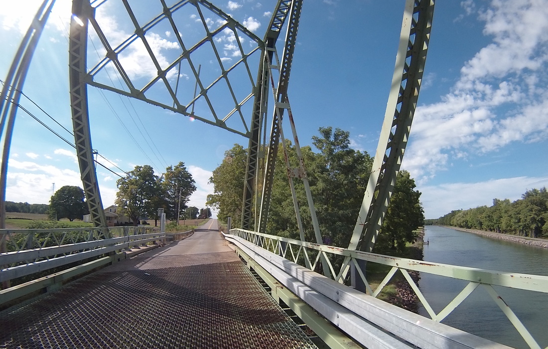
Yesterday, I said that I had turned from the Erie Canal for the last time, but I was totally, completely wrong. In fact, starting at about mile 28, the canal was with me for the rest of the day, darting in and out of the route I had chosen. Still a welcome sight, and I love all of the different kinds of bridges that I used to cross it.
  |   |
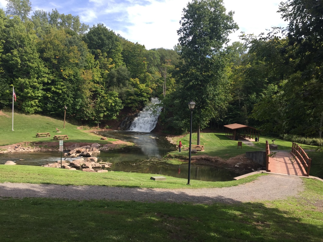
Kathy has been researching points of interest on her daily driving route. Today, she visited Holley Falls, and since it was right off my route, I joined her. The city of Holley has a great park set up around the falls.
And I rolled in Medina, where Kathy and I walked along the good old Erie Canal before dinner.
So celebratory we were of the Erie Canal, we even took the opportunity to travel under it! This culvert is the only place along the whole system where you can do so (second image is from Google Maps).

Tomorrow I really and truly will say goodbye to the Erie Canal, traveling up to Lake Ontario and following the shore around to Niagara Falls and into a new country!
https://ridewithgps.com/routes/15123597
https://ridewithgps.com/routes/15123597
Follow the link to view the ride:
https://ridewithgps.com/trips/11285341
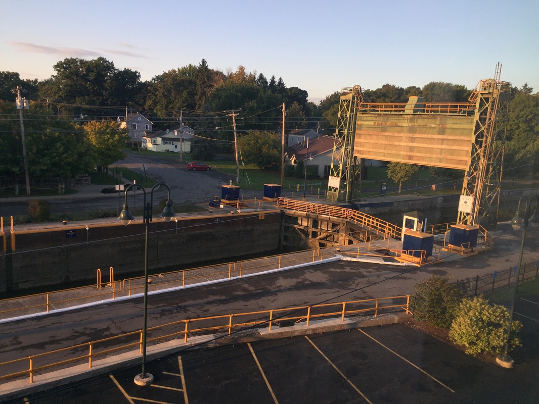
It was a slightly warmer morning as I headed out today, so I didn't need to wear my sleeves. The rising sun shone beautifully on Lock 24 when I left the parking lot and headed West. I was immediately greeted by a stiff Southwesterly wind that persisted at around 10 mph or more throughout the day. While this certainly slowed me down, I can hardly complain about the weather thus far. It's been mostly sunny and a perfect temperature pretty much every day I've been on the road. It has only rained at night and on the break day. Still, the return of the headwind made me appreciate the gift of the tailwind yesterday all the more.
Heading out of Baldwinsville, I noticed some very nice houses along the banks of the Seneca River.
Continuing out of town, I had a few steep climbs ahead, not at all helped by the damned headwind.
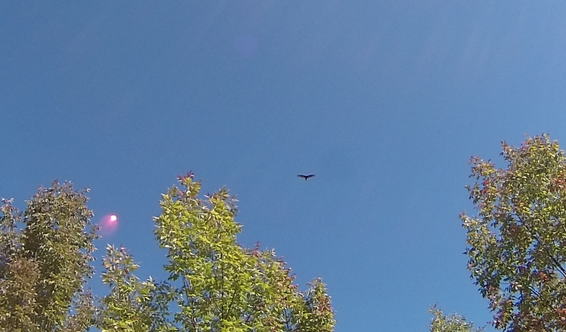
One thing I've been missing on this trip vs. BOSEYW are the vast array of birds that I saw as I was cycling down the East coast. Today, once I got over the ridge, I got my first good look at a bird of prey, gliding in the wind. It is possibly a short-tailed hawk. My bike-cam is not very good at bird photography, but here's what I got.
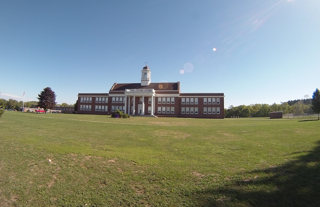
Ten miles in and I hit Meridian and Cato, two small farming towns. Lots of large corn fields out here. I liked their combined school district building.
At mile 15, I turned North away from the Seneca River Valley, saying goodbye to the Erie Canal for the last time. The terrain changed as well, getting more wooded. And while there were still cornfields on occasion, the main crop out here seemed to be apples and grapes.
 |  |
I ate lunch in Walcott. The towns out here have a different character than the places that I had been through over the past few days. Those seemed like loose amalgamations of municipal buildings and farm support business. These towns were much more organized, with town centers surrounded by houses and even subdivisions.
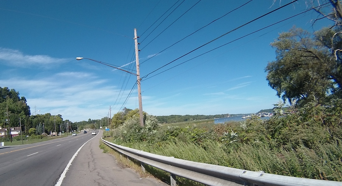
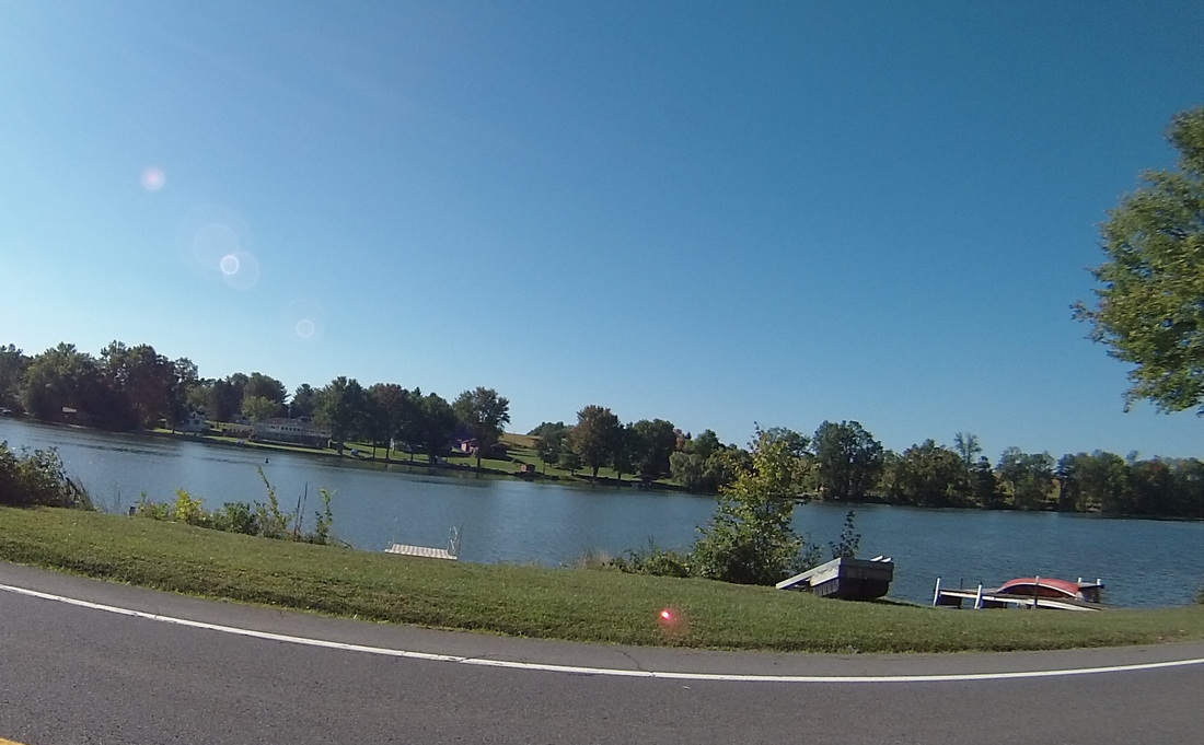
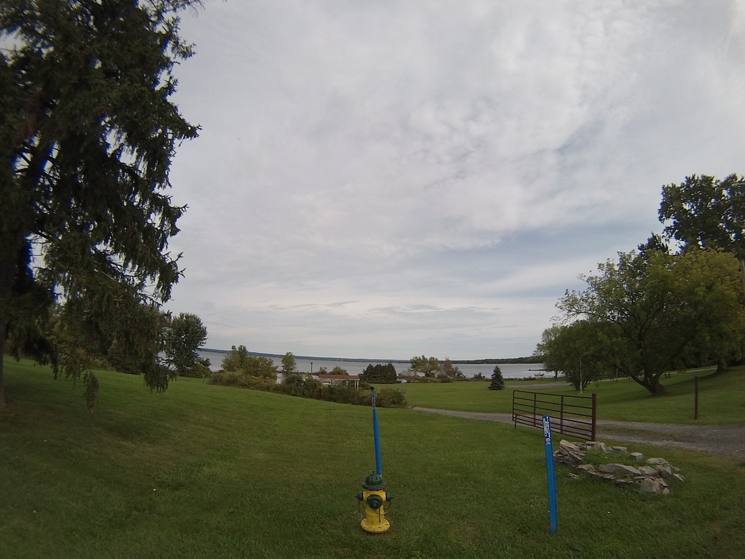
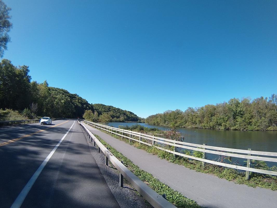
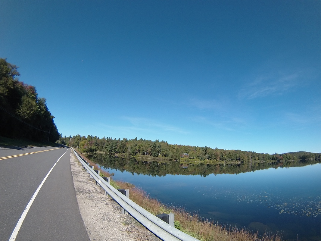
After lunch, I hit Sodus Bay. This is an inlet of Lake Ontario, one of three Great Lakes that we'll be near on this trip.
Heading into the town of Sodus, I experienced a bit of drama. The road was closed with no obvious detour signs to be seen. Luckily, there was a road within sight that turned out to follow the detoured road all the way into town and around the roadblock.
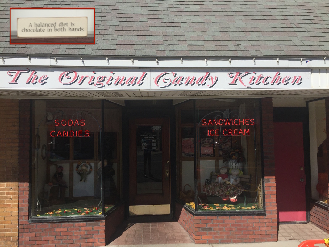
At around mile 48 today, in the town of Williamson, I reached the halfway point of the entire trip (roughly mile 404 out of 808). Fortuitously, it was at a candy shop! I went in and bought 1/2 pound of chocolate to commemorate the milestone. The Original Candy Kitchen has been making and selling candy in Williamson since 1890. The inset picture is on the wall inside the store.
The next town I went through was Ontario, NY. I snapped a photo of this banner, hanging in the town center. I immediately tried to figure out all of the symbols on it.
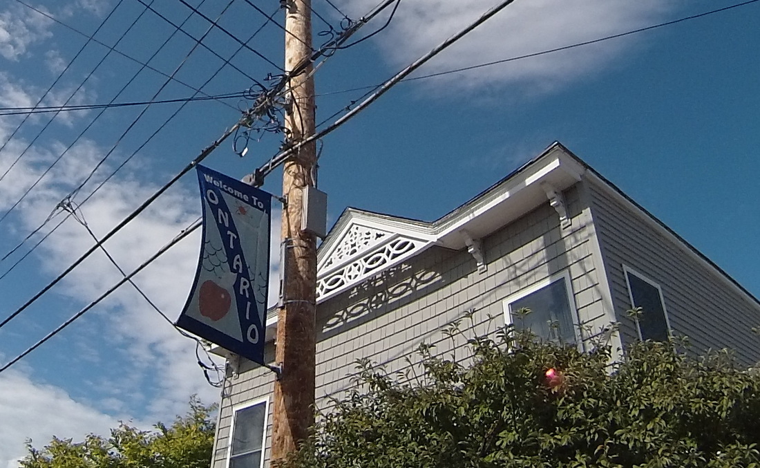
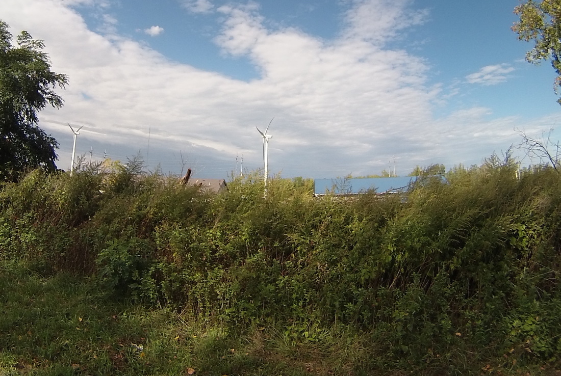
I figured the apple was because this area had tons of apple orchards. Check. The waves symbolized the fact that the town was both named for and extended to Lake Ontario. Sure. The windmill and the atom were a little less obvious at first, but the windmill question was solved in a few more miles.
I had to use Wikipedia after I got to the hotel tonight to figure out the atom symbol. Turns out Ontario is the home of the R. E. Ginna Nuclear Power Plant. Mystery solved.
The wind still blowing at me at about 15 mph, I pulled into Webster, NY and met Kathy at our hotel. We drove a few miles north to eat dinner on the shore of Lake Ontario. Every time I see one of the great lakes, I am awed at its size. Just look at that horizon! All that delicious fresh water. Thanks, ice age glaciers!
The wind still blowing at me at about 15 mph, I pulled into Webster, NY and met Kathy at our hotel. We drove a few miles north to eat dinner on the shore of Lake Ontario. Every time I see one of the great lakes, I am awed at its size. Just look at that horizon! All that delicious fresh water. Thanks, ice age glaciers!
Tomorrow is our second to the last day in New York. We'll be heading through Rochester and into Medina.
https://ridewithgps.com/routes/15116148
https://ridewithgps.com/routes/15116148
Follow the link to view the ride
https://ridewithgps.com/trips/11268162
https://ridewithgps.com/trips/11268162
Today is my 49th birthday, a perfect square of a prime number (the last time that will likely happen in my life), and I set myself up for an easy ride. It was only 51 miles to the destination, no hill with a grade over 5% and most of the trip completely flat. It was the kind of birthday morning where the universe seems to be in your corner. The wind, which yesterday blew from the Northwest at 10 mph right in my face, completely reversed itself and blew from the Southeast to help me along my way. Even the road itself seemed to wish me a happy year of being 49.
The ride itself was a little routine, through similar terrain and scenery I had viewed over the past few days. I was still more or less following the Erie Canal, but now we were off the Mohawk River and on to other waterways. First, Pools Brook, which runs from Rome into Oneida Lake, and later, the Seneca River. Here's Pools Brook:
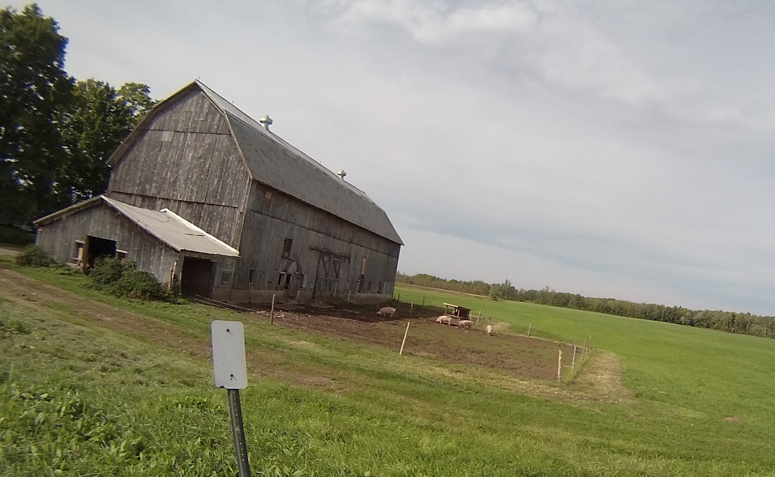
There was still plenty of farm land. As before, I saw hay, horses, corn and cows. Today, I saw some pigs for the first time.
Twenty miles in, I reached the Oneida Lake. It was interesting to see the businesses shift quickly from farm support to marine support. I was hoping for some great lake views, but perhaps not surprisingly, most of those views were obscured by properties, and the road itself was mostly too far away. I did mange to get a shot or two.
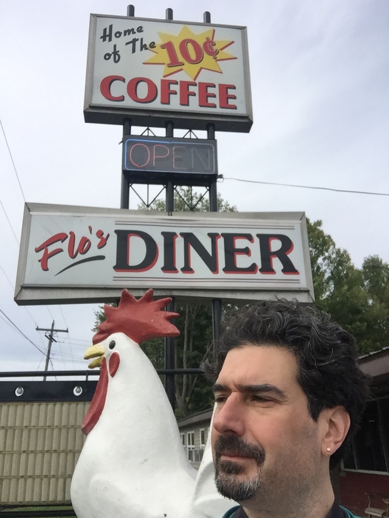
Lunch was at Flo's Diner, in Canastota a few miles to the West. They still sell coffee for 10 cents a cup at Flo's, and what the diner lacks in staff warmth and superior food (it was ok, just not great), it more than makes up for with their mascot, leading to, in my opinion, the best selfie I have ever taken.
Once I got around the lake, I went through Cicero, a northern suburb of Syracuse. It felt considerably less rural and remote here, what with the event DJs and the Fire Department. Things would really get out of control a few more miles up in Clay, NY when there were multiple malls off the interstate (mercifully, not pictured).
 |  |
And the next town over was the end of the today's ride in Baldwinsville, NY. We're staying in an old mill (the Red Mill Inn), right between the Seneca River and lock E24 on the Erie Canal.
Tonight, Kathy and I are having birthday dinner at a local restaurant just steps away from the inn, aptly named "Lock 24."
Tomorrow, back to the normal ride length (60 miles), as we head towards Lake Ontario and the town of Webster, NY, a Northeast suburb of Rochester.
https://ridewithgps.com/routes/15115257/
Tomorrow, back to the normal ride length (60 miles), as we head towards Lake Ontario and the town of Webster, NY, a Northeast suburb of Rochester.
https://ridewithgps.com/routes/15115257/
Follow the link to view the ride:
https://ridewithgps.com/trips/11255407
https://ridewithgps.com/trips/11255407
It was in the upper 30's this morning when I woke up, and was still in the low 50's when I started the ride. I had to use my long sleeves! While it eventually warmed up to the upper 60's, a cold Northwesterly wind blew at me at about 10 mph all day, significantly slowing me down. Luckily, the day's route didn't have too many big hills so I just downshifted a bit and went on my way. The air was crisp, the sky was blue, and after a breakfast stop at the Village Restaurant in Canajoharie, I turned Westward, into the wind, and began my day.
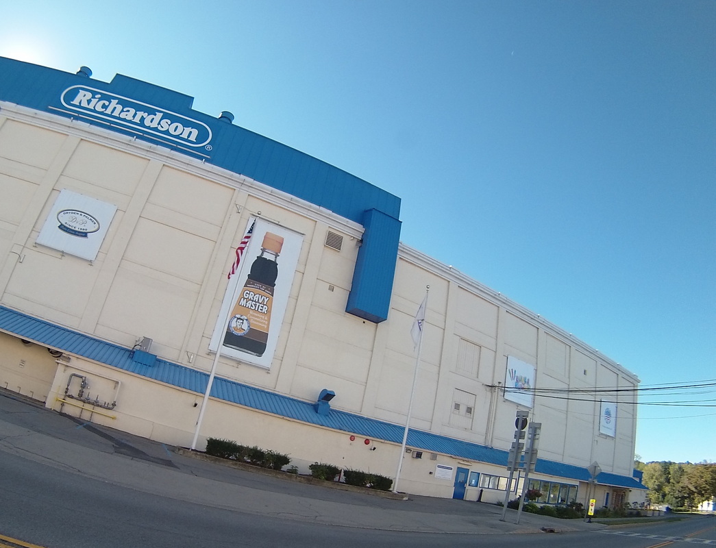
I discussed the closing of the BeechNut factory when we came into the area on Friday, and I mentioned that most of the town was employed there. What I forgot about was the other candy maker in town, the Richardson Brands Company. Richardson is the largest maker of rock candy in the US! Also, they make something called "Gravy Master", which apparently isn't just for gravy anymore! Richardson is still proudly open and operating in Canajoharie, and a sweet smell wafted out from within as I passed it this morning.
I discussed the closing of the BeechNut factory when we came into the area on Friday, and I mentioned that most of the town was employed there. What I forgot about was the other candy maker in town, the Richardson Brands Company. Richardson is the largest maker of rock candy in the US! Also, they make something called "Gravy Master", which apparently isn't just for gravy anymore! Richardson is still proudly open and operating in Canajoharie, and a sweet smell wafted out from within as I passed it this morning.
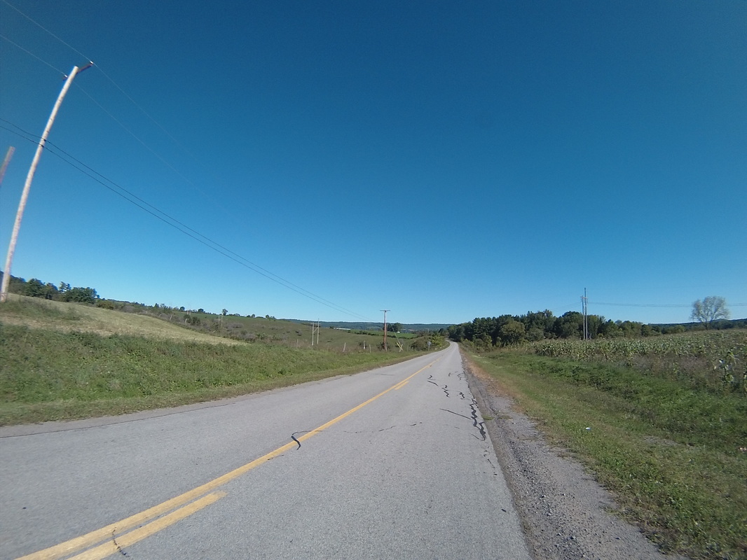
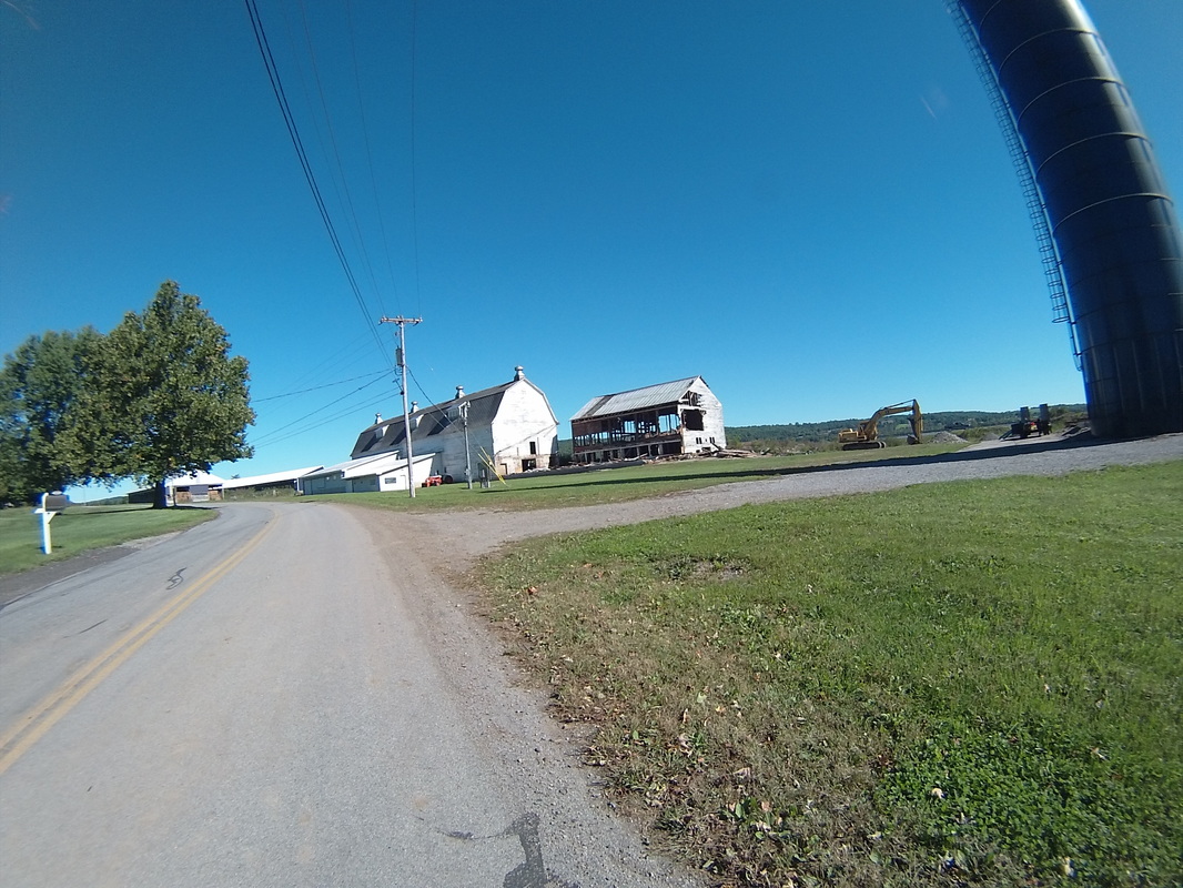
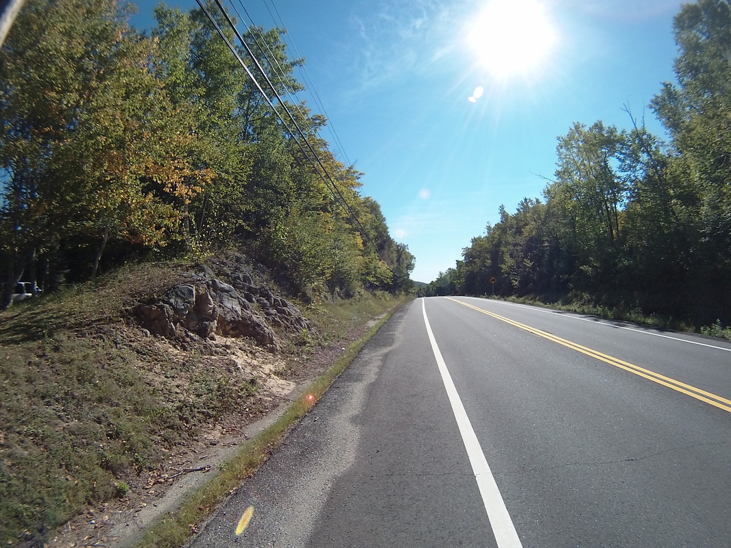
The next fifteen miles went through some sparsely populated areas, dotted with some excellent scenery. I've always been a big fan of collapsing barns for some reason. I think they poignantly represent, to me, the fragility of human life and stuff.
 |  |
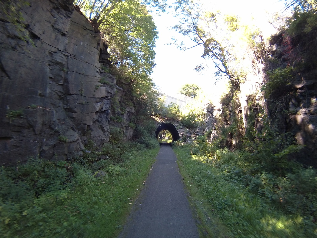
I mainly stuck to the roads today, rather than the Canalway Bike Path. I realized on my day off yesterday that the bumpiness of the path did more damage to my derriere that I was willing to admit at the time. Thus, the only time I spent on the path today was a one and a half mile stint opposite Little Falls, NY. I liked it because it was so clearly a former railway line that had been blasted out of the rock. Here's a particularly rocky, tunnely section that I rode through:
Around mile 28, just outside of Fort Herkimer, NY, the road and the path bunched up very close to the Mohawk.
At around noon, I pulled into Ilion, NY, looking for lunch. My first problem was that the road I expected to use to get into town was gated off by the Remington Gun Factory (and museum!) So I went around the whole thing and ate "lunch" at the Farmhouse Restaurant, immediately across the street from the factory. The restaurant was only serving breakfast/brunch today, since it was Sunday. Also, the gun place was closed. So I ate my pancakes and didn't get to see where rifles are made. A bit of a let down.
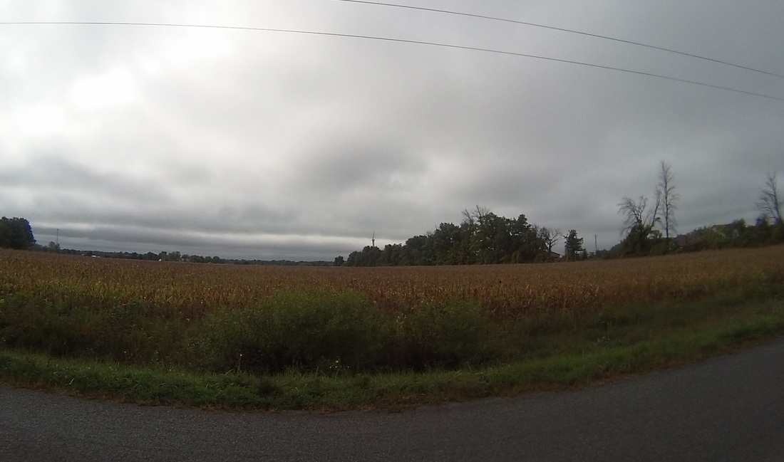
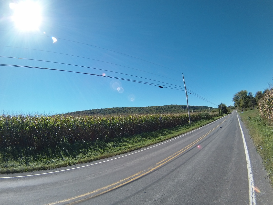
Between Ilion and Utica, there was a lot of corn. Some of it had been harvested already, but this corn was still on the stalks. According to this web site, the corn harvest for upstate, mountainous, and colder areas can go as late as mid October.
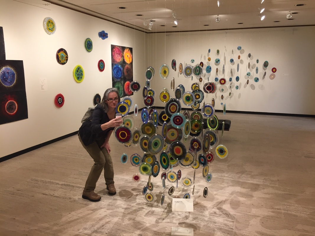
Kathy and I keep in touch on the road, and it so happened that we were both in Utica, NY at the same time. So I met her at the Munson Williams Proctor Art Institute downtown. It was a nice little break before the final push to Rome. Kathy was very interested in getting a close-up selfie with the glass sculpture. I tried to look away, expecting the shattering sounds to occur any minute.
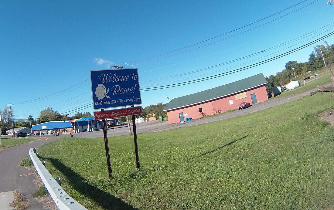
The final 15 miles to Rome went quickly, even with that damn wind still blowing in my face. According to Alex, who again sent a barrage of useful data on Rome to me as I was pedaling, Rome is the site of the first cheese factory in the US. I love cheese! I did not pass any historical markers, but here's the "Welcome to Rome" sign.
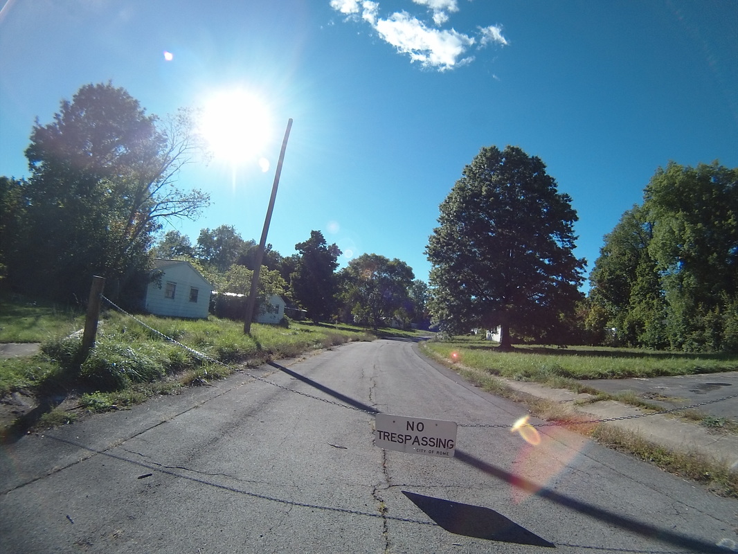
About a mile away from the hotel, I was going through a subdivision and all of the side streets were chained off and marked "No Trespassing". Beyond the chains, the houses were clearly in decay. I took a picture then looked it up when I got to the hotel. Turns out the area was home to workers at the now-closed Griffiss Air Force Base. When the base closed, the people left and the houses fell into disrepair. You can see more and read the story for yourself at this link: http://bigfrog104.com/abandoned-neighborhood-woodhaven-park-rome-photos/
Tomorrow, we turn North from the Erie Canal and head to Baldwinsville, NY, on the banks of the Seneca River. It's my 49th birthday, and I tried to make the route 49 miles long, but could only get it down to around 51. Two for good luck, I guess!
https://ridewithgps.com/routes/15114186
https://ridewithgps.com/routes/15114186
Follow the link to view the route:
https://ridewithgps.com/trips/11235424
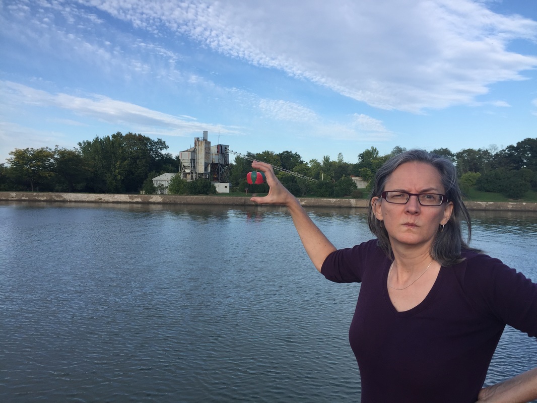
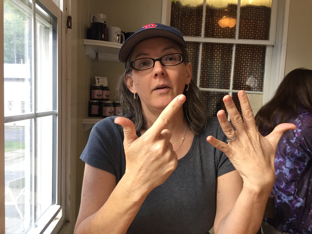
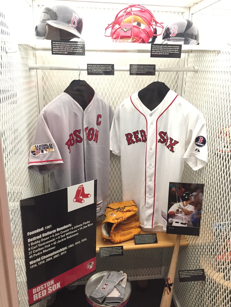
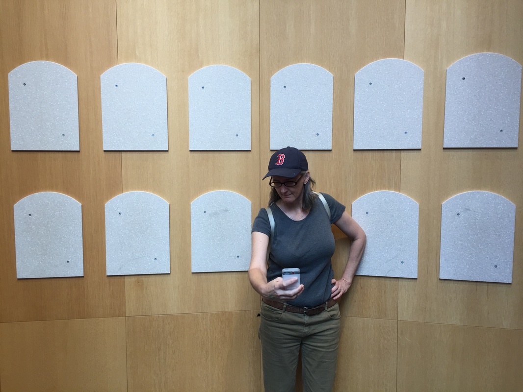
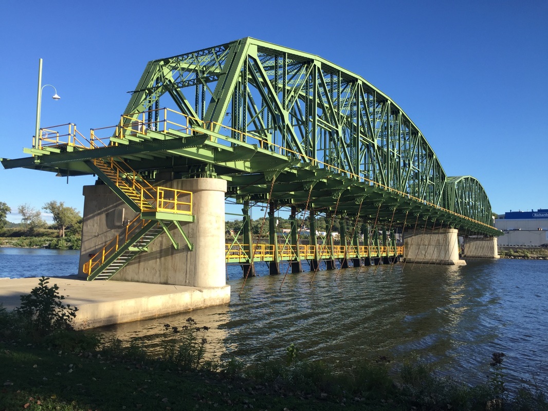
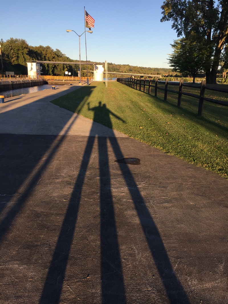
No cycling today, but Kathy and I drove to Cooperstown to visit the Baseball Hall of Fame, then spent some time at Lock 14 on the Mohawk River, a couple of miles from our motel.
The drive down to Cooperstown was scenic!
The drive down to Cooperstown was scenic!
 |  |
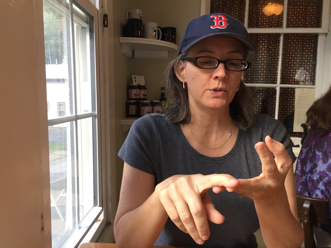
We ordered seven things for breakfast at the Black Cat Cafe in Sharon Springs, NY. Count them, Kathy!
Red Sox artifacts at the Hall of Fame
Kathy contemplates her future inclusion in the Hall
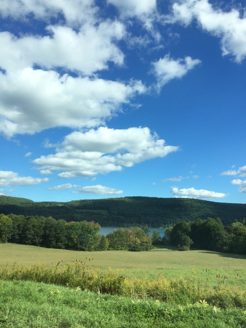
Ostego Lake, heading back North from Cooperstown
Lock 14 at sundown
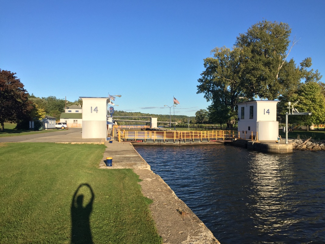
The dam at Lock 14. Damn, that's pretty!
Three-legged, two-headed beast.
Today's ride was almost exclusively adjacent to the Mohawk River on the Erie Canalway Trail or one of the roads alongside it. I've detailed my love/hate relationship with bike paths elsewhere. I experienced some of the same pros and cons today, so my strategy was to use the trails when they kept me closer to the river or got me to places not as easily accessible via the roads. I only got burned once, and I'll probably continue this way on the next ride, which isn't until Sunday thanks to a built-in day of rest. After all of the hills in the past four days, my legs need it!
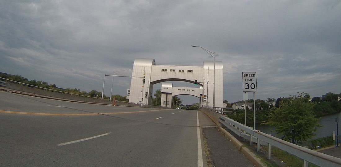
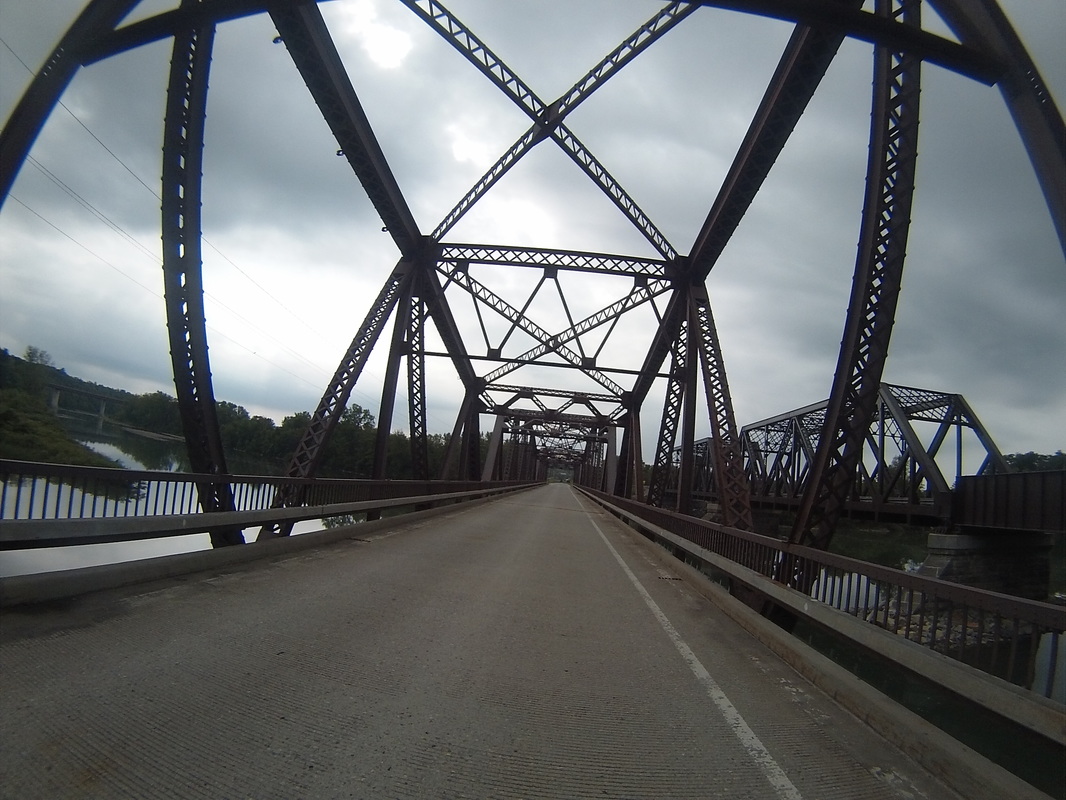
The day did not begin with dog poems, but instead with a bridge across the Hudson River, leaving Troy behind and putting me on course to follow the mighty Mohawk. I really liked the design of the spacey Green Island Bridge, a vertical lift bridge opened in 1981.
The day did not begin with dog poems, but instead with a bridge across the Hudson River, leaving Troy behind and putting me on course to follow the mighty Mohawk. I really liked the design of the spacey Green Island Bridge, a vertical lift bridge opened in 1981.
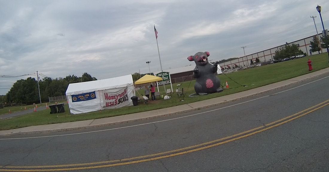
I soon passed a Honeywell Aerospace factory that is the subject of a union dispute. The rat was out because Honeywell has locked out the union employees and brought in scabs. They've been out there since May of this year!
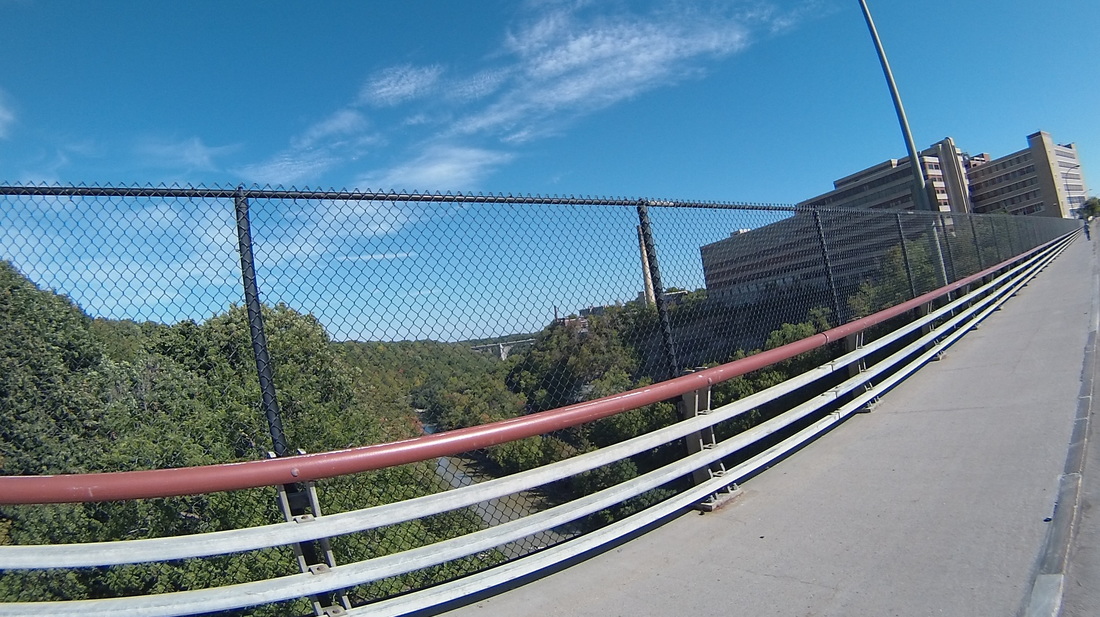
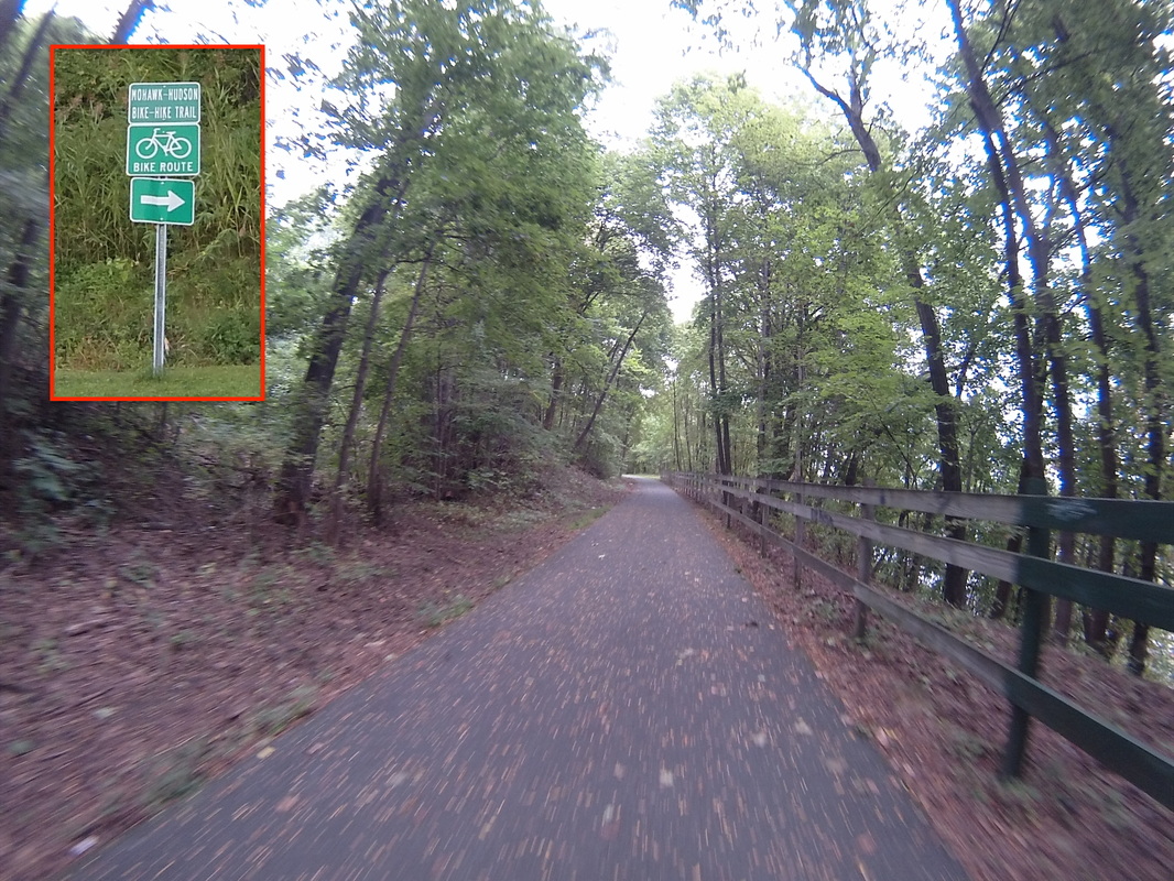
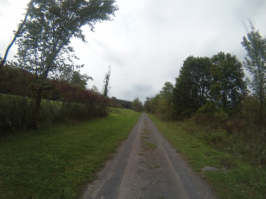
I picked up the bike trail in Cohoes. It was serviceable, if a little bumpy from tree roots, leaves and twigs. In Dunsbach Ferry, the next town over, the trail took me under the I-87 bridge across the Mohawk. I always like being on these "secret roads."
|
|
What I soon noticed was that the state of the trail varied from town to town. It is presumably up to the local government to decide how to maintain their section of trail, no doubt correlated with affluence and tax base. Here's how the trail looked in this fancier community.
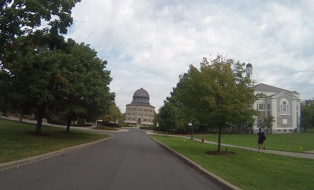
I scheduled my first food stop in Schenectady. By doing so, I skipped a portion of the trail that would have taken me through Knolls Atomic Power Lab, GE Central Research, and a few other GE sites. But food was more important than curiosity, so I wound up at the Union Cafe, a delightful spot with a great egg and cheese sandwich. My waiter cycles to work every day, so he had many questions about BOSDET. Everyone was super friendly! At this point, I realized that I would be passing Union College (the alma mater of several good friends) on my way out of town, so I made a quick photo stop to send their way.
The trail really opened up as I left Schenectady and rode through Gateway Park. The sun started to come out a bit as well, although on balance, the day was cloudy and a little muggy, threatening rain at times. The rain, thankfully, never came until after I reached our hotel.
The trail paralleled I-890 for awhile. I happened upon a time-out place for bad road signs. I think this one hit a truck or something. I-890 is in the background.
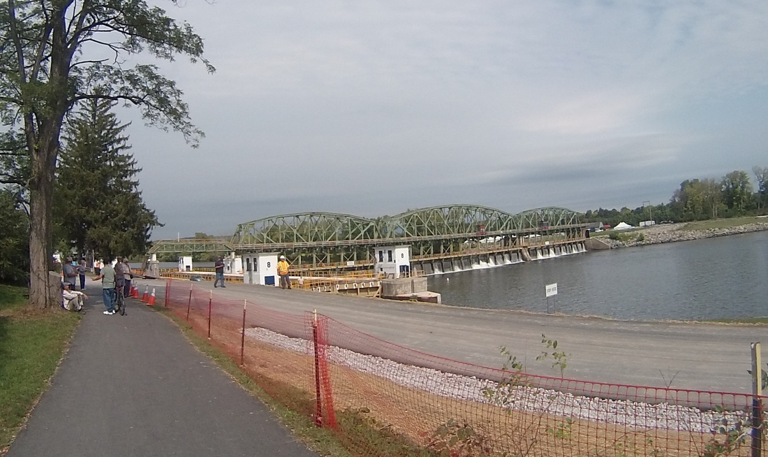
The Erie Canal is a massive system of locks and dams linking Albany to Buffalo, built to enable shipping from the Atlantic Ocean to the Great Lakes. While it now serves mainly as a recreational route, commercial traffic has experienced a resurgence in the last decade. Let's all sing "Low Bridge", which I learned in elementary school and somehow still remembered.
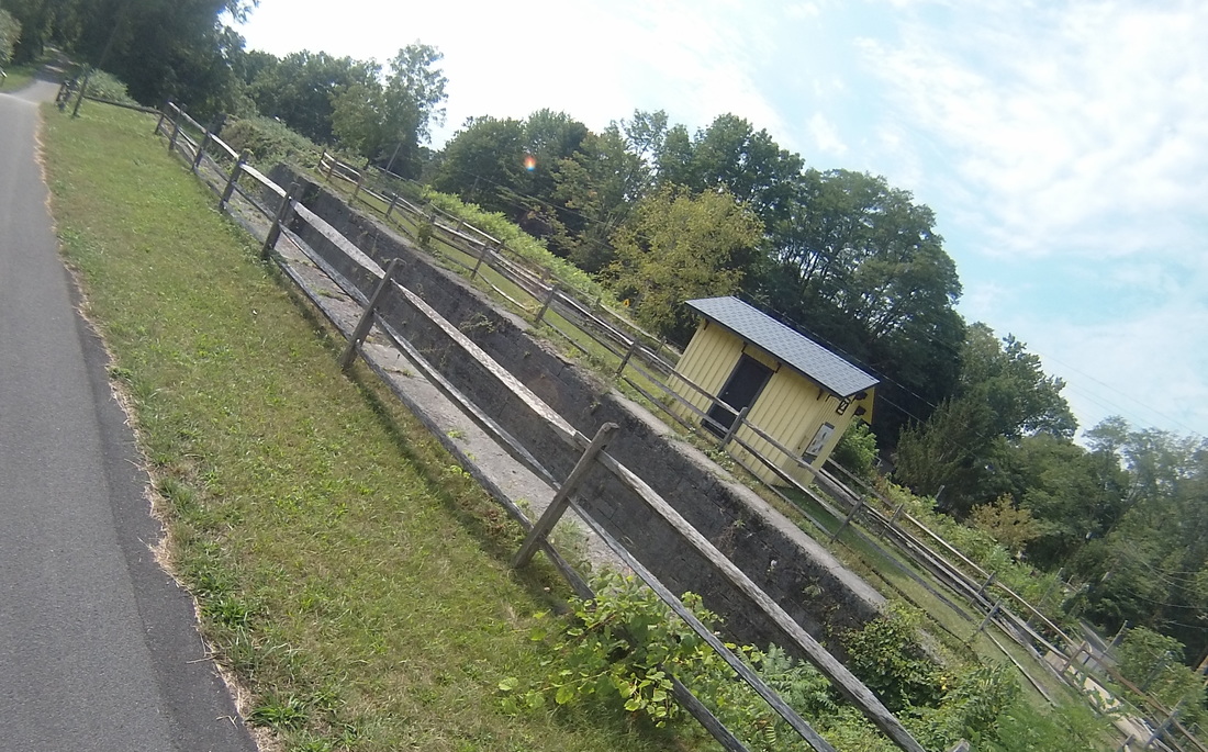
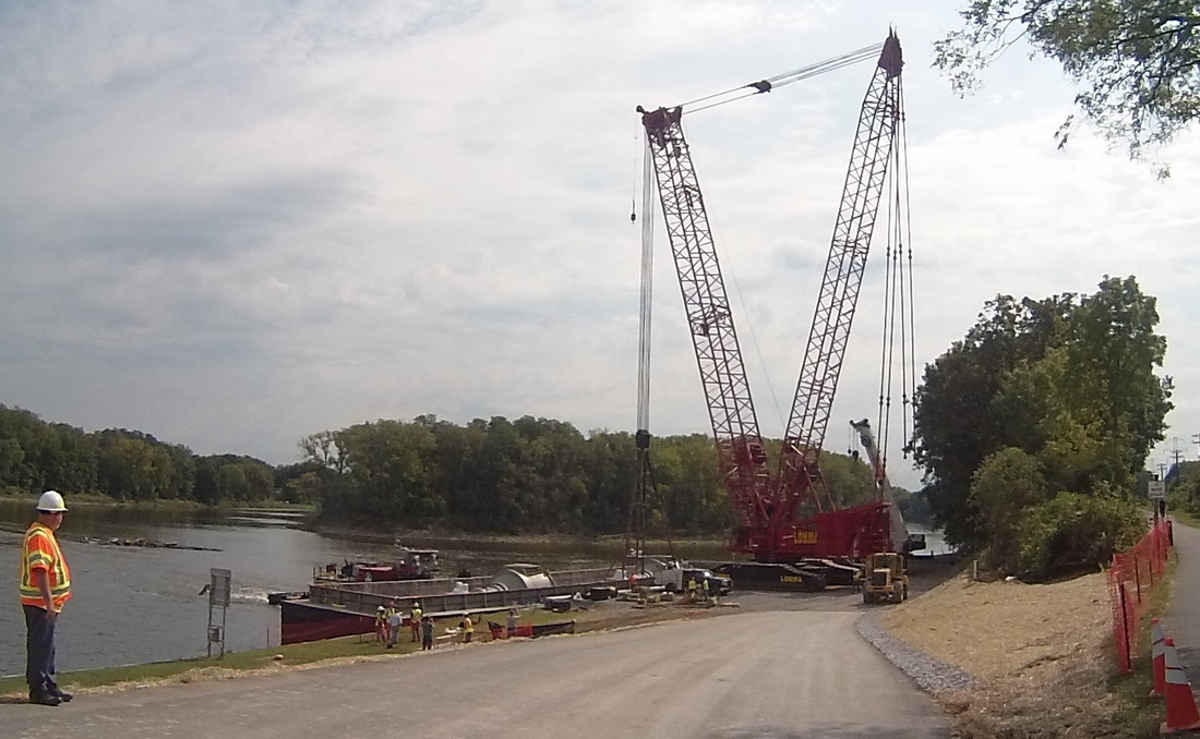
I got a first-hand look at one of the old locks and the modern Lock Number 8, just outside Schenectady. Looks like they were installing some new turbines for the dam.
|
|
About eight miles later, while riding through Pattersonville, my biking app started reading me comments from our frephew (friend-nephew), Alex. Did you know that you can send comments to me while I'm riding? You need a (free) RideWithGPS account, then follow the live logging link I send out every morning and post a comment. It will be immediately read to me!
Alex suggested I might want to stop at Decker's Landscape and Aquatics, then gave me a host of useful information on one of the last towns on the ride today, Canajoharie. You can look at these comments yourself by reviewing today's ride on RideWithGPS. He also pointed out a "They Might Be Giants" song about Canajoharie. Listen here.
I love getting comments! They really make my day.
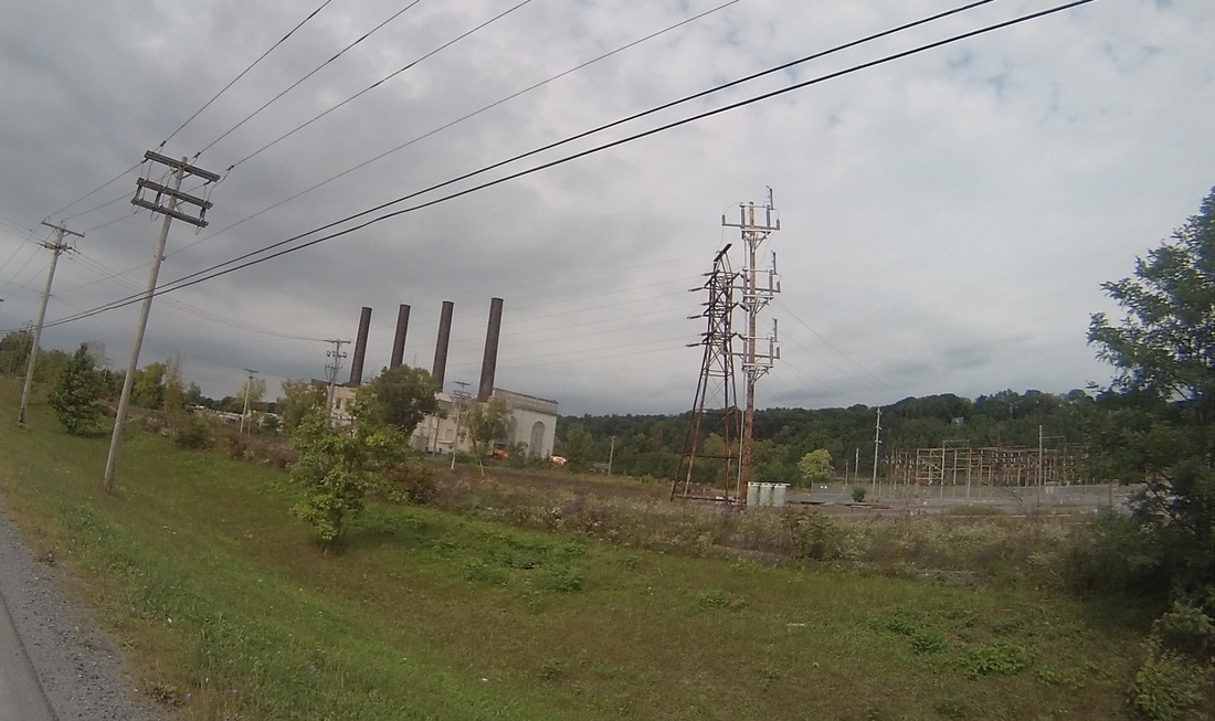
After hearing from Alex, I passed Lock Number 10, the site of a former Adirondack Power & Light power plant, originally put into operation in 1922. It is now used to store concrete blocks for the Cranesville Block Company. I can think of better uses for this monument to industry. See here for a better photo.
Alex suggested I might want to stop at Decker's Landscape and Aquatics, then gave me a host of useful information on one of the last towns on the ride today, Canajoharie. You can look at these comments yourself by reviewing today's ride on RideWithGPS. He also pointed out a "They Might Be Giants" song about Canajoharie. Listen here.
I love getting comments! They really make my day.
After hearing from Alex, I passed Lock Number 10, the site of a former Adirondack Power & Light power plant, originally put into operation in 1922. It is now used to store concrete blocks for the Cranesville Block Company. I can think of better uses for this monument to industry. See here for a better photo.
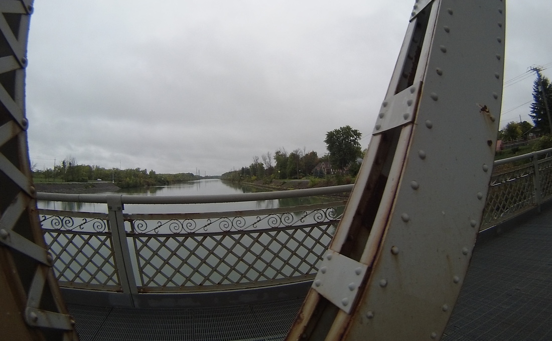
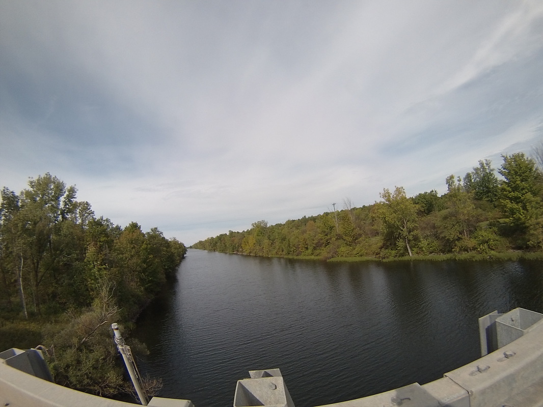
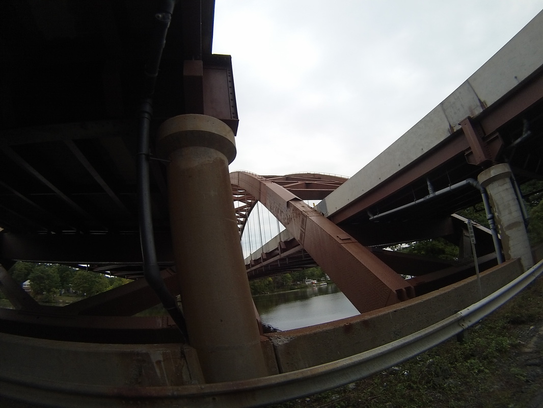
At around mile 44, the bike path crossed the Schoharie Creek. I suppose the one I rode over was an old railroad bridge, while New York Route 5S used the other. I like the way my bike-cam's fish-eye lens makes bridges look.
A few miles later, I got dirt-roaded. As I said earlier, I had been switching between the bike path and the main roads depending on grade, points of interest, and road conditions. Unfortunately, a few miles after Schoharie Creek, the paved trail ended and I had to deal with dirt (although at least it was hard packed gravel and relatively easy to navigate over) for another few miles before the trail rejoined the road. This is my first inadvertent dirt road in four days, so overall, I'm doing pretty well.
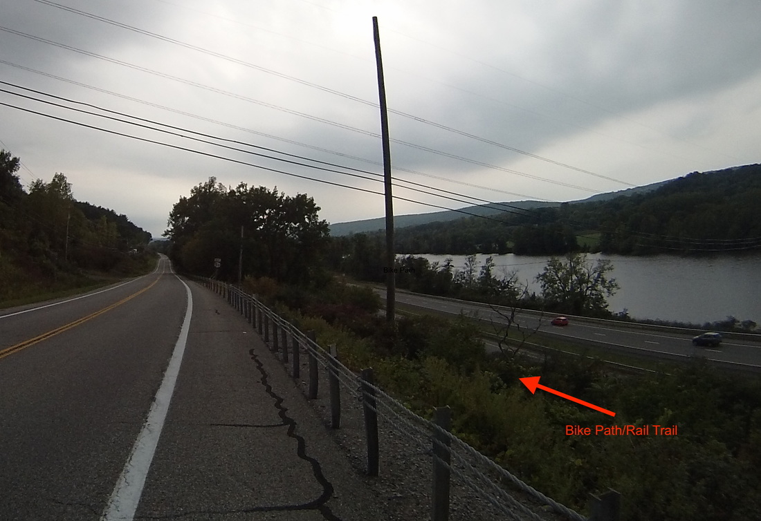
After a quick pizza stop at mile 50 in Fultonville, NY, it was time to press on to the end of today's ride. While the final fifteen miles were a bit more hilly and headwindy than I would have liked, at one point there was a cool confluence of four major conveyances. In order of history, there was the river, the railroad, which is now a bicycle trail (not easy to see in the photo, so trust the red arrow), the "old" road (New York 5S, which I was on), and Interstate 90.
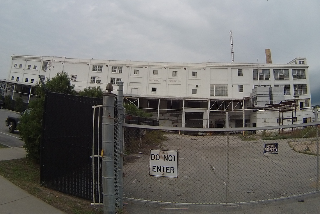
The penultimate town on the trip today was the now-fabled Canajoharie, home for 118 years of a Beech-Nut factory that made baby food and chewing gum. It employed most of the town. In 2009, they closed the factory and moved it to a new modern facility about 20 miles away. Read about it here. Observe the white ghost below.
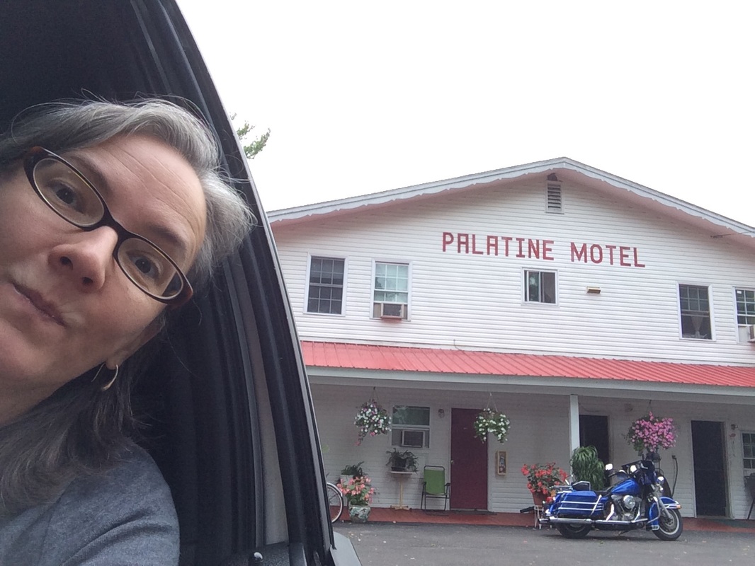
All that was left to do now was cross over the Mohawk River into Palatine Bridge and ride a few miles up the river to our motel.
I'll be taking a well-earned break tomorrow (with a bonus field-trip!) and return to cycling on Sunday.
Follow the link to view the ride:
https://ridewithgps.com/trips/11200224
https://ridewithgps.com/trips/11200224
Our morning started with a breakfast of farm fresh eggs (Kathy literally pulled them out from under the hen last evening), prepared by our host at Curtis House, Gloria. As breakfast winded down, Gloria recited, from memory, an epic poem written by her then 15-year-old daughter. The performance took about five minutes. In it, the girl pines for a Great Dane puppy, and gets one from her parents. As the puppy grows up, however, its care becomes more and more untenable, eventually forcing the dog and the girl to strike out on their own. They ultimately achieve both fortune and international notoriety training other dogs. This leads to them being asked to visit world leaders and their pets. While the dog distracts the leaders, the girl "takes over" and fixes all the world's problems. An unprecedented period of peace ensues. When the dog finally dies, the pax per canem comes to an end. The girl cannot bring herself to get another dog, but dreams of a day when her future daughter asks for one, presumably starting the cycle all over again. This poem seemed particularly apropos given the current state of world affairs. I started my ride this morning fantasizing about a huge Great Dane devouring Donald Trump in one bite.
Back to reality, the weather was again very cooperative today as I rode out and almost immediately up from Ashfield. I quickly came to a road sign that let me know the ride would be scenic no matter which direction I chose. Kathy, riding in the Spike Shadow, snapped a photo of me soon after, my choice made.
Back to reality, the weather was again very cooperative today as I rode out and almost immediately up from Ashfield. I quickly came to a road sign that let me know the ride would be scenic no matter which direction I chose. Kathy, riding in the Spike Shadow, snapped a photo of me soon after, my choice made.
 |  |
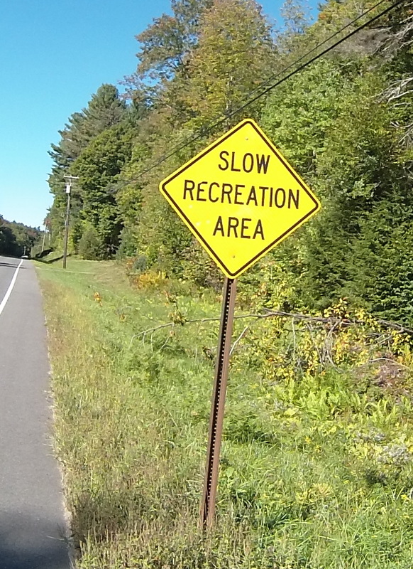
The theme for today's ride was a series of calf-killing climbs followed by some very long (and very fun) descents. Unlike yesterday, though, and perhaps because this was the third straight day of hill-climbing, the ups seemed considerably harder. The first town through was Plainfield, notable due to their slow recreation policy. No problem heading up the hill to the town center, but I had to ride the brakes down to Plainfield Pond to avoid going too fast. Look how clear that lake is!
 |  |
The next town to climb to was Savoy, where I reached the highest point on the whole trip, at just over 2000 feet. I stopped to get a picture of where I'd come from back East.
 |  |
After this hill was crested, I was treated to over six miles of almost uninterrupted downslope. If the roads weren't as poor as they were, I would have taken the opportunity to break my speed record (50+ mph), but I was only comfortable with coasting down at 35 mph today. Here's what that looks (and sounds) like:
Approaching Cheshire, MA, I was grinning like the eponymous cat at these wonderful views of the Hoosic River valley.
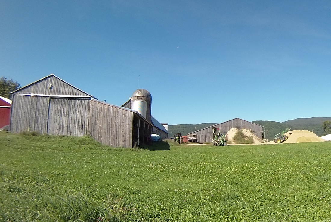
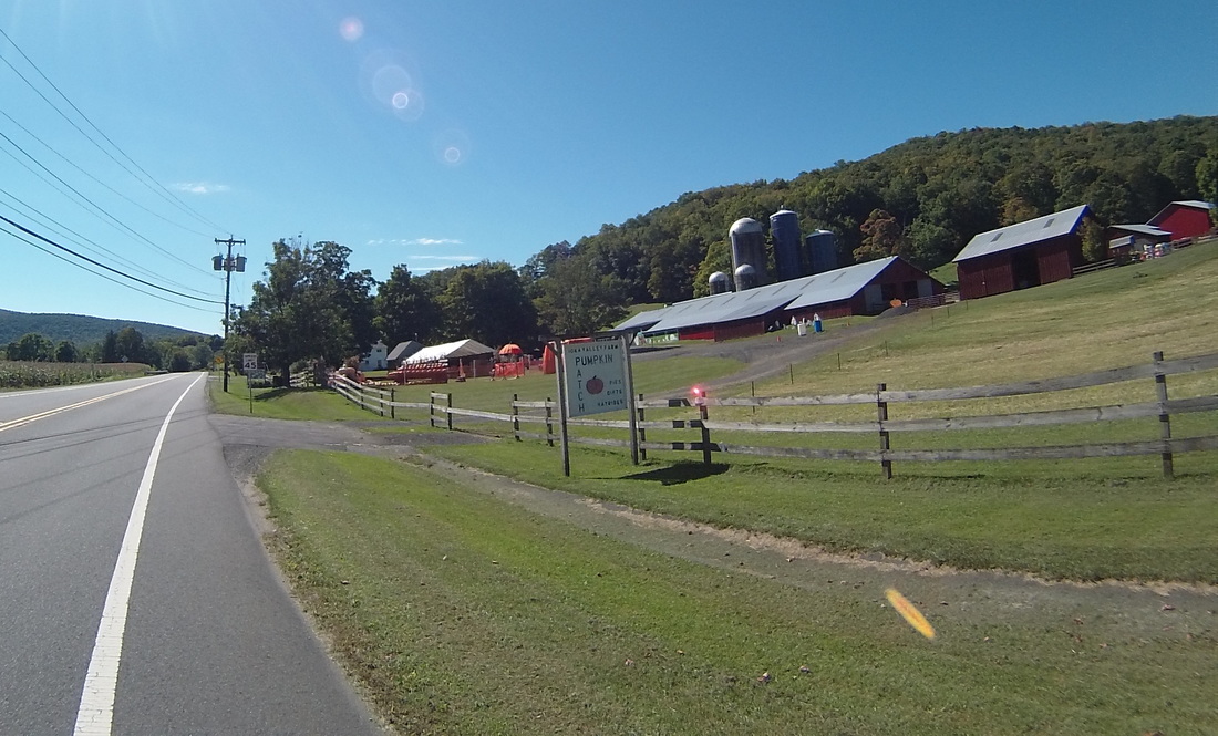
After a quick lunch in Lanesborough at Bob's Country Kitchen, it was time to finish off the Berkshires and climb the road between Jiminy Peak and Brodie Mountain. Along the way, I experienced my first pumpkin farm sighting. There will likely be more of these as the ride continues.
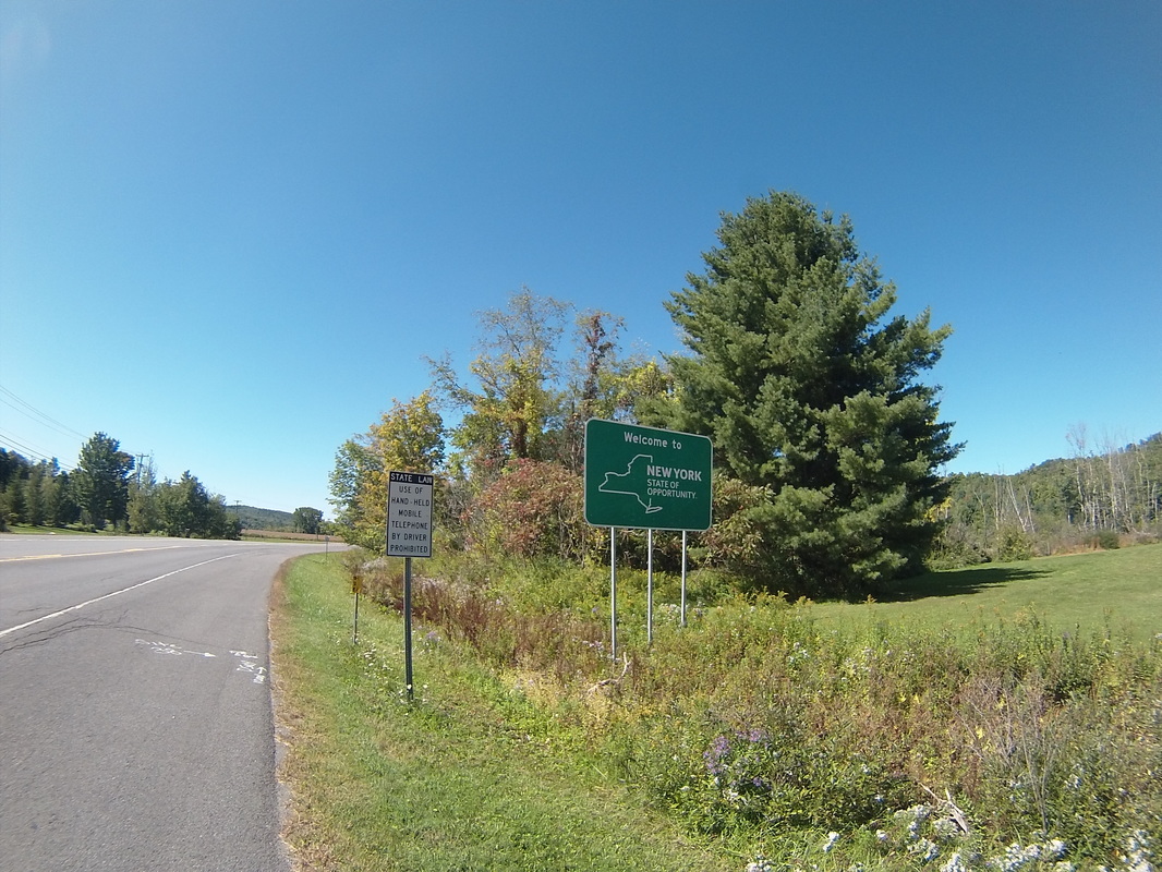
Crossing into New York was part of a five mile downslope around Rounds Mountain. Goodbye Massachusetts, Hello New York!
Unfortunately, the only "opportunity" the state of New York afforded me today was my final big climb of the day, over three and a half miles up to Stephentown Center, NY, including a mile and a half of grade 7%+ action. The good news is that after I got past this, it was pretty much downhill or flat for the rest of the way as I headed towards the Hudson River Valley.
About fifteen miles later, and I experienced. . . traffic! And strip malls! After two days of small, disconnected New England towns, I was suddenly in the suburbs.
And from there, it was just a short jaunt through the RPI campus and to our decidedly non-B&B Hilton Garden Inn hotel.
Tomorrow, I'll be crossing the Hudson and hugging the Mohawk River as we make our way to Palatine Bridge, NY and a much needed rest day.
https://ridewithgps.com/routes/15081685
https://ridewithgps.com/routes/15081685
Follow the link to review the route:
https://ridewithgps.com/trips/11183677
https://ridewithgps.com/trips/11183677
Author
My name is Scott, and together with my bicycle and my awesome spouse Kathy, I ride in 50-75 mile increments to travel relatively large distances. I also write about it, and that's what this blog is all about.
 RSS Feed
